Leeds
Leeds/25/9/00118/MOD
Former Eastmoor School Tile Lane Adel Leeds
- Reference
- Leeds/25/9/00118/MOD
- Authority
- Leeds
- Application type
- MOD
- Address
- Former Eastmoor School Tile Lane Adel Leeds
- Status
- Decided
- Decision
- Non Material Amendment Approved
- Received
- 4 Jun 2025
- Validated
- 4 Jun 2025
- Started
- 4 Jun 2025
- Decided
- 2 Jul 2025
- Source council
- Leeds
- Council source record
- View public record
- Public data licence
- Open Government Licence v3.0
- Record updated
- 6 Aug 2026
- SEO index generated
- 7 Aug 2026
Location
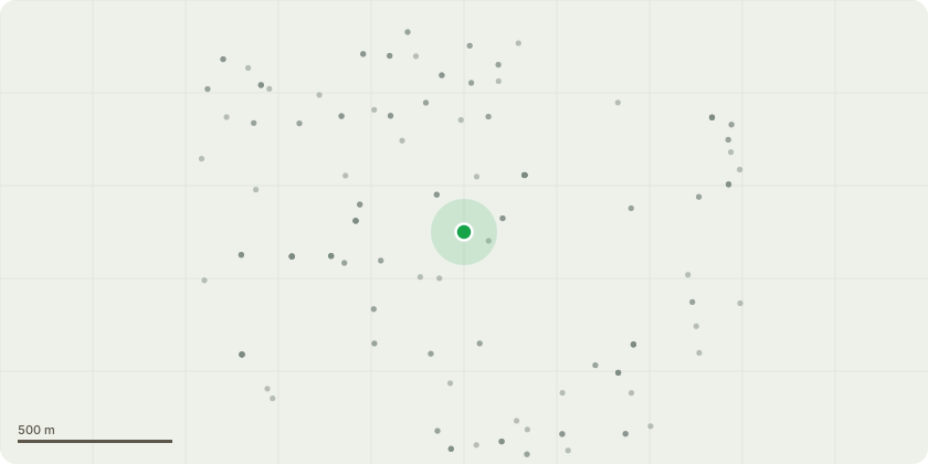
Approximate location
Proposal
Change of use, including conversion, part demolition, and alteration, of listed buildings to create 29 new dwellings, erection of 43 new dwellings, landscaping and associated works, creation of new access roads, and conversion of former swimming pool to offices (Use Class E). NON MATERIAL AMENDMENT to 21/00865/FU Condition 25 PD rights This condition lists various plots where PD rights are removed however it refers to plot numbers which do not exist on the consented plans. The scheme does not have 82 plots and the numbers are wrong. Condition 25 - Notwithstanding the provisions of the Town and Country Planning (General Permitted Development) Order 1995 (or any Orders revoking or re-enacting that Order with or without modification) planning permission shall be obtained before any outbuildings, extensions or roof extensions are erected on Plots 10, 17, 23, 26, 27 30, 33, 34, 48, 49, 61- 67, and 78-82. As the Local Planning Authority wish to keep control over the erection of these buildings.There are TPO trees around the site and any extensions near these trees would have a detrimental impact and consider PD needs to be restricted, this would relate to plot numbers - 1-2, 4-6, 10-12, 17-19, 22-28, 29, 30, 35 and 36 plus 7 and 8 Tile Road
Key dates
- Received 4 Jun 2025
- Validated 4 Jun 2025
- Started 4 Jun 2025
- Decided 2 Jul 2025
Planning history / related applications
No related planning applications have been identified in the current public OGL dataset.
Inside plotEdge
Go beyond the public record
This page is the public OGL record. plotEdge adds the private intelligence layer for this site - open it in the app to unlock:
- Ownership & title Registered owner and title from HM Land Registry.
- Viability & build potential Site scoring and development upside.
- Constraints Flood risk, green belt, conservation areas and designations.
- Approval signal Planning risk and approval-likelihood analysis.
- Comparable applications Decisions on similar nearby sites, side by side.
- Status alerts Get notified the moment this application changes.
Source: public planning application data from Leeds, reused under the Open Government Licence v3.0. View the council source record. Council documents and drawings are not republished on plotEdge.