Leeds
Leeds/24/9/00254/MOD
Land South Of Whitehall Road Leeds
- Reference
- Leeds/24/9/00254/MOD
- Authority
- Leeds
- Application type
- MOD
- Address
- Land South Of Whitehall Road Leeds
- Status
- Decided
- Decision
- Non Material Amendment Approved
- Received
- 17 Dec 2024
- Validated
- 17 Dec 2024
- Started
- 17 Dec 2024
- Decided
- 30 Jan 2025
- Source council
- Leeds
- Council source record
- View public record
- Public data licence
- Open Government Licence v3.0
- Record updated
- 6 Aug 2026
- SEO index generated
- 7 Aug 2026
Location
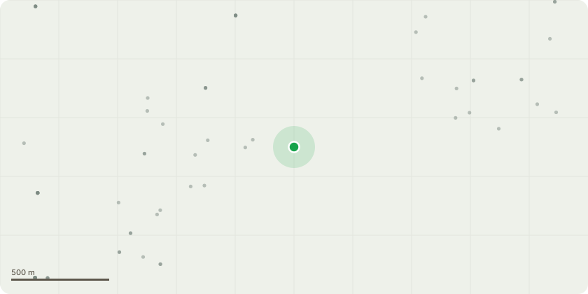
Approximate location
Proposal
Hybrid Planning Application consisting of Full Planning Application for 12 storey office building with Use Class E at ground level ..... - NON MATERIAL AMENDMENT TO 22/02638/FU - Variation of GA Plans and Elevations as follows:-Drawing No. 20100 - Ground Floor Plan - This has been replaced by Drawing No. 20-201-P51. HV Sub-Station doors increased in width; to suit specific IDNO requirements 2. Southern public entrance door has moved west slightly 3. Building line amended at level 00 (East Elevation to reduce the footprint) 4. Addition of Hard & Soft Landscaping designDrawing No. 20102 - EVC Deck - This has been replaced by Drawing No. 20-202-P2 / 20-203-P3 / 20-204-P3 / 20-205-P3.1. EV positioning has been amended at all relevant levels to be located by the perimeter to suit current fire fighting guidance.Drawing No. 20105 - Level 14 Upper Deck - This has been replaced by Drawing No. 20-207-P3.1. Parking deck at level 14 has been omitted and the MSCP now terminates at level 13. Drawing No. 20105 - Roof Deck - This has been replaced by Drawing No. 20-208-P3.1. Core B now terminates to underside of roof (plant deck). Access hatch to replace stair as access. 2. Core A amended; now multi-level to account for stair access and lift over-run. 3. All roof levels have been amended. Parapet level is approx. 2.4m lower than approved elevations. Refer to 20-221-P4Drawing No. 20110 / 20111 - Elevations - This has been replaced by Drawing No. 20220-P4 / 20221-P4. 1. Amendments as listed out above 2. Pattern to facing brick amended 3. Extents of facing brick wall reduced to suit fire strategy requirements 4. Facing Brick selection now added to Drawing No. 20-221-p4Please also refer to mark ups attached to illustrate change.
Key dates
- Received 17 Dec 2024
- Validated 17 Dec 2024
- Started 17 Dec 2024
- Decided 30 Jan 2025
Planning history / related applications
No related planning applications have been identified in the current public OGL dataset.
Inside plotEdge
Go beyond the public record
This page is the public OGL record. plotEdge adds the private intelligence layer for this site - open it in the app to unlock:
- Ownership & title Registered owner and title from HM Land Registry.
- Viability & build potential Site scoring and development upside.
- Constraints Flood risk, green belt, conservation areas and designations.
- Approval signal Planning risk and approval-likelihood analysis.
- Comparable applications Decisions on similar nearby sites, side by side.
- Status alerts Get notified the moment this application changes.
Source: public planning application data from Leeds, reused under the Open Government Licence v3.0. View the council source record. Council documents and drawings are not republished on plotEdge.