Leeds
Leeds/24/9/00222/MOD
Former Goods Yard Shannon Street Leeds
- Reference
- Leeds/24/9/00222/MOD
- Authority
- Leeds
- Application type
- MOD
- Address
- Former Goods Yard Shannon Street Leeds
- Status
- Decided
- Decision
- Non Material Amendment Approved
- Received
- 9 Oct 2024
- Validated
- 9 Oct 2024
- Started
- 9 Oct 2024
- Decided
- 16 Oct 2024
- Source council
- Leeds
- Council source record
- View public record
- Public data licence
- Open Government Licence v3.0
- Record updated
- 6 Aug 2026
- SEO index generated
- 7 Aug 2026
Location
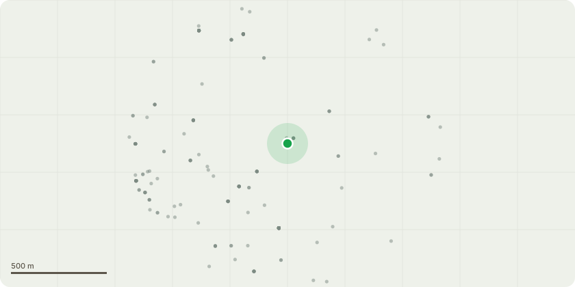
Approximate location
Proposal
Residential development comprising five residential blocks of dwellings (C3 use), commercial and community uses (A1, A2, A3, A4, A5, B1, D1 and D2 uses), public houses, wine bars, or drinking establishments, hot food takeaways, communal spaces, service areas, access ways, landscaping and car parking and related site preparation and demolition works. - NON MATERIAL AMENDMENT TO 22/08001/FU - M4 (2) bathrooms require a cut out in the structural concrete floor slab under the bath drain to allow for future adaptations and the installation of a level access shower. Where these adaptable bath drains (with floor cut outs) in the current design need to be located near structural columns, therefore would be a requirement for additional strengthening and reinforcement of the strucutral frame. The Proposed response to this issue is to omit those M4 (2) apartments with bathrooms within Blocks 3, 4 and 5 which are located near strucutral columns in order to allow for a more efficient and sustainable strucutral frame (See cover letter for further details)
Key dates
- Received 9 Oct 2024
- Validated 9 Oct 2024
- Started 9 Oct 2024
- Decided 16 Oct 2024
Planning history / related applications
No related planning applications have been identified in the current public OGL dataset.
Inside plotEdge
Go beyond the public record
This page is the public OGL record. plotEdge adds the private intelligence layer for this site - open it in the app to unlock:
- Ownership & title Registered owner and title from HM Land Registry.
- Viability & build potential Site scoring and development upside.
- Constraints Flood risk, green belt, conservation areas and designations.
- Approval signal Planning risk and approval-likelihood analysis.
- Comparable applications Decisions on similar nearby sites, side by side.
- Status alerts Get notified the moment this application changes.
Source: public planning application data from Leeds, reused under the Open Government Licence v3.0. View the council source record. Council documents and drawings are not republished on plotEdge.