Lambeth
Lambeth/26/02381/NMC
7 Glasshouse Walk London SE11 5ES
- Reference
- Lambeth/26/02381/NMC
- Authority
- Lambeth
- Application type
- NMC
- Address
- 7 Glasshouse Walk London SE11 5ES
- Postcode
- SE11 5ES
- Status
- Awaiting decision
- Received
- 18 Aug 2026
- Started
- 18 Aug 2026
- Source council
- Lambeth
- Council source record
- View public record
- Public data licence
- Open Government Licence v3.0
- Record updated
- 23 Aug 2026
- SEO index generated
- 27 Aug 2026
Location
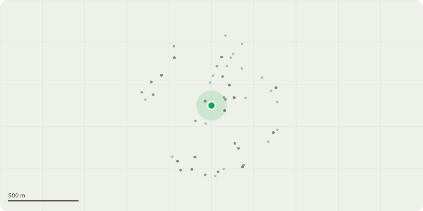
Approximate location
Proposal
Application for a Non-Material Amendment Following a Grant of Planning Permission ref: 24/01224/FUL (Demolition of existing buildings and construction of a part 6/part 8/part 10 storey building comprising social science incubator space (Class E(g)(i)) on the ground floor with ancillary cafe, light industrial employment space (Class E(g)(iii) on the lower ground floor, with halls of residence and ancillary facilities above (sui generis), with provision of associated cycle parking, new public realm, loading bay and landscaping) granted on 22.08.2025.Amendment sought :-To amend the BREEAM-related conditions so that the trigger for submission of the required details is extended from six months to twelve months from commencement of development, reflecting the approved phased implementation of the scheme and the delay between demolition and the commencement of the principal construction works.- To combine Conditions 26 (BREEAM Shell and Core) and 27 (BREEAM Excellent) to reflect the revised delivery strategy, whereby the commercial floorspace will be fully designed and assessed as part of a single BREEAM process rather than through separate shell-and-core and fit-out stages.
Key dates
- Received 18 Aug 2026
- Started 18 Aug 2026
Planning history / related applications
No related planning applications have been identified in the current public OGL dataset.
Inside plotEdge
Go beyond the public record
This page is the public OGL record. plotEdge adds the private intelligence layer for this site - open it in the app to unlock:
- Ownership & title Registered owner and title from HM Land Registry.
- Viability & build potential Site scoring and development upside.
- Constraints Flood risk, green belt, conservation areas and designations.
- Approval signal Planning risk and approval-likelihood analysis.
- Comparable applications Decisions on similar nearby sites, side by side.
- Status alerts Get notified the moment this application changes.
Source: public planning application data from Lambeth, reused under the Open Government Licence v3.0. View the council source record. Council documents and drawings are not republished on plotEdge.