Lambeth
Lambeth/25/03519/DET
Tesco Stores, 275 Kennington Lane And 145-149 Vauxhall Street London SE11
- Reference
- Lambeth/25/03519/DET
- Authority
- Lambeth
- Application type
- DET
- Address
- Tesco Stores, 275 Kennington Lane And 145-149 Vauxhall Street London SE11
- Status
- Decided
- Decision
- Grant Permission
- Received
- 11 Nov 2025
- Validated
- 11 Nov 2025
- Started
- 11 Nov 2025
- Decided
- 8 Jan 2026
- Source council
- Lambeth
- Council source record
- View public record
- Public data licence
- Open Government Licence v3.0
- Record updated
- 6 Aug 2026
- SEO index generated
- 7 Aug 2026
Location
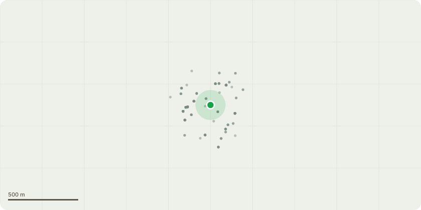
Approximate location
Proposal
Partial approval of details pursuant to condition 67 (piling) Block F only of planning permission 23/01683/VOC (Variation of conditions 2 (Approved Drawings), 39 (CHP Connections), 53 (Energy System Emissions) and 70 (Quantum of Development) of planning permission 20/02203/VOC (Variation of Conditions 2 (Approved Plans) and 70 (Quantum of Development) of planning permission 18/02597/EIAFUL (Demolition of existing building and redevelopment of the site to provide a mixed-use development comprising the erection of 3 new buildings (Plot A,B,C) ranging from 4-17 storeys to provide residential (Class C3), a replacement Tesco store (Class A1), office (Class B1) and flexible commercial floorspace (Classes A1, A2, A3 or B1)) granted on 21.12.2018 as amended by 19/03649/NMC and 20/00786/NMC.), granted on 22.10.2020 [as amended by 21/00657/NMC, 21/01672/NMC, 21/02674/NMC, 21/03059/NMC, 21/04065/NMC, 22/00419/NMC and 23/00612/NMC]Variations sought:- Provision of an additional storey to Block F- Linkage to Block E (Oval Gas Works Consent) and internal reconfiguration including changes to the unit mix and alterations for fire safety purposes- Overall provision of 6 additional units- Provision of roof terrace to Block F- Amendment to the Site-Wide Energy Strategy via provision of ASHP (in connection to the Oval Gas Works Consent (21/03217/VOC)) granted on 31.01.2024.
Key dates
- Received 11 Nov 2025
- Validated 11 Nov 2025
- Started 11 Nov 2025
- Decided 8 Jan 2026
Planning history / related applications
No related planning applications have been identified in the current public OGL dataset.
Inside plotEdge
Go beyond the public record
This page is the public OGL record. plotEdge adds the private intelligence layer for this site - open it in the app to unlock:
- Ownership & title Registered owner and title from HM Land Registry.
- Viability & build potential Site scoring and development upside.
- Constraints Flood risk, green belt, conservation areas and designations.
- Approval signal Planning risk and approval-likelihood analysis.
- Comparable applications Decisions on similar nearby sites, side by side.
- Status alerts Get notified the moment this application changes.
Source: public planning application data from Lambeth, reused under the Open Government Licence v3.0. View the council source record. Council documents and drawings are not republished on plotEdge.