Lambeth
Lambeth/25/03113/EIAFUL
Land Bounded By Wandsworth Road, Parry Street, Bondway, Miles Street And Railway Viaduct London SW8
- Reference
- Lambeth/25/03113/EIAFUL
- Authority
- Lambeth
- Application type
- EIAFUL
- Address
- Land Bounded By Wandsworth Road, Parry Street, Bondway, Miles Street And Railway Viaduct London SW8
- Status
- Awaiting decision
- Received
- 16 Oct 2025
- Started
- 16 Oct 2025
- Source council
- Lambeth
- Council source record
- View public record
- Public data licence
- Open Government Licence v3.0
- Record updated
- 6 Aug 2026
- SEO index generated
- 7 Aug 2026
Location
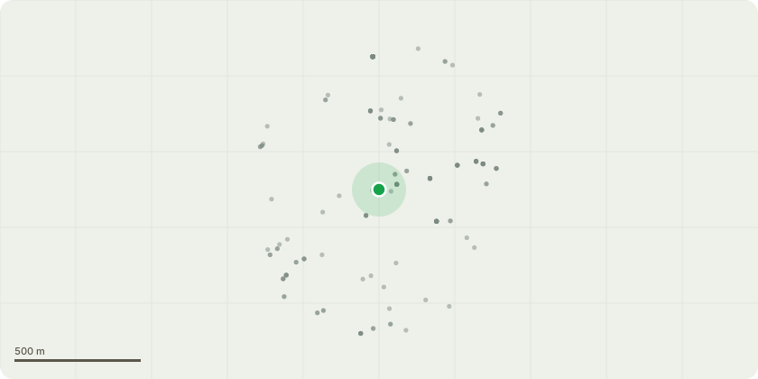
Approximate location
Proposal
Phased redevelopment of the site including demolition of all existing buildings and structures to erect up to 7 buildings ranging from three to 69 storeys plus basements for a range of land uses comprising residential (Class C3), purpose built shared living (Sui Generis), purpose built student accommodation (Sui Generis), flexible town centre uses/commercial (Class E(a), (b), (d), (e)), community/health uses (Class F2/E(e)), office (Class E(g)) and/or hotel (Class C1), cinema (Sui Generis), soft and hard landscaping, play space, pedestrian and vehicular access, cycle parking, car parking and all other works associated with the development.Information for the purpose of consultation (floorspace measured as Gross Internal Area):- Residential dwellings: 1,097- Co-living: 1,164 units - Student accommodation: 699 units- Hotel: 11,409sqm- Office: 4,085sqm- Flexible retail: 3,968sqm- Cinema: 1,707sqm- Community/medical: 1,780sqm30 DAY RE-CONSULTATION DUE TO: Further information has been provided under Regulation 25 of the EIA Regulations, see Statement of Conformity from Trium dated 10 June 2026; amendments to the affordable housing provision as set out in cover letter from DP9 dated 17 June 2026, including resultant changes to drawings and associated documents. The proposed development does not accord with the provisions of the development plan in force in the area in which the land to which the application relates is situated.Please note all previous comments will still be considered.
Key dates
- Received 16 Oct 2025
- Started 16 Oct 2025
Planning history / related applications
No related planning applications have been identified in the current public OGL dataset.
Inside plotEdge
Go beyond the public record
This page is the public OGL record. plotEdge adds the private intelligence layer for this site - open it in the app to unlock:
- Ownership & title Registered owner and title from HM Land Registry.
- Viability & build potential Site scoring and development upside.
- Constraints Flood risk, green belt, conservation areas and designations.
- Approval signal Planning risk and approval-likelihood analysis.
- Comparable applications Decisions on similar nearby sites, side by side.
- Status alerts Get notified the moment this application changes.
Source: public planning application data from Lambeth, reused under the Open Government Licence v3.0. View the council source record. Council documents and drawings are not republished on plotEdge.