Lambeth
Lambeth/25/01327/TPO
Henry Tate Mews London
- Reference
- Lambeth/25/01327/TPO
- Authority
- Lambeth
- Application type
- Tree preservation order
- Address
- Henry Tate Mews London
- Status
- Unknown
- Decision
- Grant Consent
- Received
- 25 Apr 2025
- Validated
- 20 May 2025
- Started
- 20 May 2025
- Decided
- 30 May 2025
- Source council
- Lambeth
- Council source record
- View public record
- Public data licence
- Open Government Licence v3.0
- Record updated
- 6 Aug 2026
- SEO index generated
- 7 Aug 2026
Location
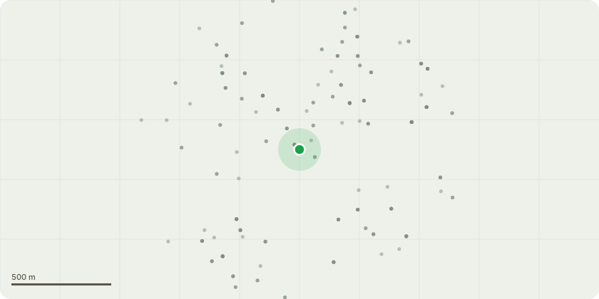
Approximate location
Proposal
TPO No.100, 23rd September 1976 Area Order, A1 The seral trees of whatever species standing in the area marked A1 on the map (excluding the Elms)Communal Grounds:T11 Oak: Remove deadwood over 5cm. Tip lift canopy to 3.5m over access road and parking bays.T16 Holly: Crown lift over bins to 2.5m.T17 Privet and Ash: Lift to ensure clearance to shed roof.T22 Yew x2: Lift low canopy to 3.5m over access road, include snapped branch.T23 Oak: Reduce lowest N primary branch by approx. 1.5m to strong growth point.T41 Holm Oak: Reduce W-heading stem with stem wound by up to 2.5m.T49 Magnolia: Fell to ground level. Died/in severe decline.T59 Ash: Reduce limbs over path by by up to 3m.T61a Holm Oak: Reduce upper SW stem by up to 2.5m.T68 Holm Oak: Reduce lowest W limb by approx. 3.5m.T70a Holm Oak: Reduce upper W/SW stem by up to 2.5m.T83 Holm Oak: Selectively reduce upper W section by up to 2m.T87 Holm Oak: Heavily reduce upper canopy to 9m.T88 Lime: Coppice.GR5 Group: Lift low canopy to ensure 2m clearance over footpath.GR11 Group: Fell and poison (ecoplugs) early mature tree of heaven on fence line above retaining wall.T58 Holm Oak: Reduce lower W limb by approx. 1.5m.
Key dates
- Received 25 Apr 2025
- Validated 20 May 2025
- Started 20 May 2025
- Decided 30 May 2025
Planning history / related applications
No related planning applications have been identified in the current public OGL dataset.
Inside plotEdge
Go beyond the public record
This page is the public OGL record. plotEdge adds the private intelligence layer for this site - open it in the app to unlock:
- Ownership & title Registered owner and title from HM Land Registry.
- Viability & build potential Site scoring and development upside.
- Constraints Flood risk, green belt, conservation areas and designations.
- Approval signal Planning risk and approval-likelihood analysis.
- Comparable applications Decisions on similar nearby sites, side by side.
- Status alerts Get notified the moment this application changes.
Source: public planning application data from Lambeth, reused under the Open Government Licence v3.0. View the council source record. Council documents and drawings are not republished on plotEdge.