Lambeth
Lambeth/24/03057/DET
Site Of The London Eye Including Parts Of County Hall, Jubilee Gardens, The Queen's Walk And The River Thames London
- Reference
- Lambeth/24/03057/DET
- Authority
- Lambeth
- Application type
- DET
- Address
- Site Of The London Eye Including Parts Of County Hall, Jubilee Gardens, The Queen's Walk And The River Thames London
- Status
- Decided
- Decision
- Grant Permission
- Received
- 1 Oct 2024
- Validated
- 1 Oct 2024
- Started
- 1 Oct 2024
- Decided
- 29 Nov 2024
- Source council
- Lambeth
- Council source record
- View public record
- Public data licence
- Open Government Licence v3.0
- Record updated
- 6 Aug 2026
- SEO index generated
- 7 Aug 2026
Location
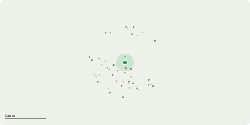
Approximate location
Proposal
Approval of details pursuant to condition 3 (lighting) of planning permission 01/03315/FUL (Retention of London Eye (the Millennium Wheel) with associated boarding platform, alterations to Thames embankment wall and minor alterations to boarding platform and restraint towers. Retention of London Eye support infrastructure including modified pre- boarding area (removable queue barriers), tension base glass screen with minor alterations, existing CCTV and proposed new CCTV cameras, existing radio mast and existing underground electricity substation. Change of use of ground, basement and sub basement floors of County Hall to provide London Eye ancillary and support services including expanded public toilets, exhibition and display areas, hospitality, offices, storage areas and circulation areas. Revised steps and ramp arrangements to County Hall bridge) granted on 18.11.2003.
Key dates
- Received 1 Oct 2024
- Validated 1 Oct 2024
- Started 1 Oct 2024
- Decided 29 Nov 2024
Planning history / related applications
No related planning applications have been identified in the current public OGL dataset.
Inside plotEdge
Go beyond the public record
This page is the public OGL record. plotEdge adds the private intelligence layer for this site - open it in the app to unlock:
- Ownership & title Registered owner and title from HM Land Registry.
- Viability & build potential Site scoring and development upside.
- Constraints Flood risk, green belt, conservation areas and designations.
- Approval signal Planning risk and approval-likelihood analysis.
- Comparable applications Decisions on similar nearby sites, side by side.
- Status alerts Get notified the moment this application changes.
Source: public planning application data from Lambeth, reused under the Open Government Licence v3.0. View the council source record. Council documents and drawings are not republished on plotEdge.