Kingston upon Thames
Kingston upon Thames/25/00516/NMA
Development Site At Post Office Brook Street Ashdown Road Kingston Upon Thames
- Reference
- Kingston upon Thames/25/00516/NMA
- Authority
- Kingston upon Thames
- Application type
- Non-material amendment
- Address
- Development Site At Post Office Brook Street Ashdown Road Kingston Upon Thames
- Status
- Granted
- Decision
- Application Granted
- Received
- 27 Feb 2025
- Validated
- 27 Feb 2025
- Started
- 27 Feb 2025
- Decided
- 28 Mar 2025
- Source council
- Kingston upon Thames
- Council source record
- View public record
- Public data licence
- Open Government Licence v3.0
- Record updated
- 6 Aug 2026
- SEO index generated
- 7 Aug 2026
Location
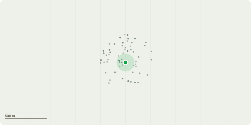
Approximate location
Proposal
Non Material Amendment to planning permission 23/03242/FUL (Application under Section 73 of the Town and Country Planning Act 1990 to vary planning permission 18/12217/FUL (Variation of condition 2 (plans) of planning permission 17/12378/FUL (Erection of new buildings of 4 to 16 storeys in height and part demolition, alterations and change of use of Former Post Office and Former Telephone Exchange listed buildings to provide retail/ cafe/ restaurant uses (A1-A5 use) and flexible floorspace to be used for either retail/café/restaurant uses (A1-A5) or Office (B1), Office (B1) floorspace and community/leisure (D1/D2 use) and 320 residential units) including for alterations to the external elevations and internal layouts of the 16 storey tower and proposed building fronting Brook Street and Old Post Office public space and alterations to the public realm around these buildings. The application is accompanied by an Environmental Statement Addendum and updated Technical report Addendums.) to include Use Class D2 (limited to gym/fitness operation only) up to 764 sqm GIA within new build units fronting the new public space and/ or Brook Street/ Wheatfield Way.) to expand the flexible use (Use Class A1-A5 or B1 or D2) to also include use Class D1
Key dates
- Received 27 Feb 2025
- Validated 27 Feb 2025
- Started 27 Feb 2025
- Decided 28 Mar 2025
Planning history / related applications
No related planning applications have been identified in the current public OGL dataset.
Inside plotEdge
Go beyond the public record
This page is the public OGL record. plotEdge adds the private intelligence layer for this site - open it in the app to unlock:
- Ownership & title Registered owner and title from HM Land Registry.
- Viability & build potential Site scoring and development upside.
- Constraints Flood risk, green belt, conservation areas and designations.
- Approval signal Planning risk and approval-likelihood analysis.
- Comparable applications Decisions on similar nearby sites, side by side.
- Status alerts Get notified the moment this application changes.
Source: public planning application data from Kingston upon Thames, reused under the Open Government Licence v3.0. View the council source record. Council documents and drawings are not republished on plotEdge.