Islington
Islington/P2026/2668/FUL
31 Highbury New Park, London, N5 2EN
- Reference
- Islington/P2026/2668/FUL
- Authority
- Islington
- Application type
- Full Planning (Householder)
- Address
- 31 Highbury New Park, London, N5 2EN
- Postcode
- N5 2EN
- Status
- VALIDATED
- Received
- 9 Oct 2026
- Validated
- 14 Oct 2026
- Started
- 14 Oct 2026
- Source council
- Islington
- Council source record
- View public record
- Public data licence
- Open Government Licence v3.0
- Record updated
- 15 Oct 2026
- SEO index generated
- 16 Oct 2026
Location
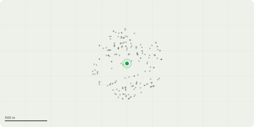
Approximate location
Proposal
Replacement of side extensions; reinstatement of the street boundary wall and missing cast stone balustrades; replacement of non-original windows; removal of cement render to the street elevation; repair and renewal of roof coverings and flashings and new roof light; rebuilding of three flat brick lintels to the rear; internal layout changes (including Reconfiguration of LGF and mezzanine bathrooms, new door openings at GF, conversion of bedroom to bathroom and creation of walk in wardrobe and ensuite at FF); reinstatement of fireplaces; localised lime repointing; removal of the raised rear patio [Listed Building Consent reference P2026/2669/LBC also submitted].
Key dates
- Received 9 Oct 2026
- Validated 14 Oct 2026
- Started 14 Oct 2026
Planning history / related applications
No related planning applications have been identified in the current public OGL dataset.
Inside plotEdge
Go beyond the public record
This page is the public OGL record. plotEdge adds the private intelligence layer for this site - open it in the app to unlock:
- Ownership & title Registered owner and title from HM Land Registry.
- Viability & build potential Site scoring and development upside.
- Constraints Flood risk, green belt, conservation areas and designations.
- Approval signal Planning risk and approval-likelihood analysis.
- Comparable applications Decisions on similar nearby sites, side by side.
- Status alerts Get notified the moment this application changes.
Source: public planning application data from Islington, reused under the Open Government Licence v3.0. View the council source record. Council documents and drawings are not republished on plotEdge.