Isle of Wight
Isle of Wight/26/01191/TW
The Firs West Hill Road Ryde Isle Of Wight PO33 1FN
- Reference
- Isle of Wight/26/01191/TW
- Authority
- Isle of Wight
- Application type
- TW
- Address
- The Firs West Hill Road Ryde Isle Of Wight PO33 1FN
- Postcode
- PO33 1FN
- Status
- Registered
- Received
- 28 Aug 2026
- Started
- 28 Aug 2026
- Source council
- Isle of Wight
- Council source record
- View public record
- Public data licence
- Open Government Licence v3.0
- Record updated
- 29 Aug 2026
- SEO index generated
- 30 Aug 2026
Location
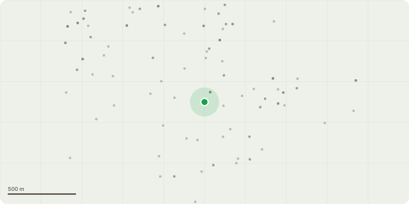
Approximate location
Proposal
T1; Holm oak (Within rear garden of no:10) - Remove.Reason: Small trunk decaying from an old trunk split, but heavily leaning towards the boundary fence to St Johns Hill.T2; Holm Oak - Remove/Coppice to a low stool.Reason: Heavily leaning towards and over the boundary fence and St Johns Hill. Tree has large rotted stem to rear indicating limited structural roots to that side.T3; Goat Willow - Remove.Reason: Heavy 'mop headed' tree leaning on the rear fence of no: 12.T4; Hawthorn - Sever the ivy at the base and continue to monitorReason: Declining and ivy smothered, within range of the St Johns Hill boundary fence. T5; Sycamore - Remove stem to prevent uncontrolled collapse.Reason: Dead stem in the centre of other stems. T6; English Oak and Ash (Adjacent to garden boundary) - Reduce (pollard) the oak down to the healthy growth branches at 6-7m in height. Remove declining side stem. Remove the poor form ash stem within the crown.Reason: Oak with a heavily declining upper stem and lower side stem. Poor extended ash stem within the oak crown. T7 Hawthorn - Remove.Reason: Dead, small stem partially collapsed.T8; English Oak - Remove.Reason: Ivy smothered and structurally poor with heavy Phytophthora (bleeding bark) infection to the lower trunk which will decline/kill bark and tree. Mixed hedgerow (footpath of West Hill Road) - Cut back growth from footpath and remove any low branches over path up to minimum of 2.4m in height.Reason: Starting to grow low over and encroach into the footpath.Various (Predominantly Holm oak and Bay (red lines on location plan) - Remove extended low limbs and over road and parking area up to 5m in height and back to the wooded area hedge line.Reason: Starting to become over-heavy and low over parking areas, low over St Johns Hill.TA; Hornbeam - Remove lower limbs over the garden to raise the crown up to 4m -5m in height.Reason: Low limbs becoming nuisance over rear garden of 135 Westhill Rd.
Key dates
- Received 28 Aug 2026
- Started 28 Aug 2026
Planning history / related applications
No related planning applications have been identified in the current public OGL dataset.
Inside plotEdge
Go beyond the public record
This page is the public OGL record. plotEdge adds the private intelligence layer for this site - open it in the app to unlock:
- Ownership & title Registered owner and title from HM Land Registry.
- Viability & build potential Site scoring and development upside.
- Constraints Flood risk, green belt, conservation areas and designations.
- Approval signal Planning risk and approval-likelihood analysis.
- Comparable applications Decisions on similar nearby sites, side by side.
- Status alerts Get notified the moment this application changes.
Source: public planning application data from Isle of Wight, reused under the Open Government Licence v3.0. View the council source record. Council documents and drawings are not republished on plotEdge.