Isle of Wight
Isle of Wight/26/00087/TW
Tolt Chillerton Water Service Reservoir Chillerton Down Main Road Chillerton Isle Of Wight
- Reference
- Isle of Wight/26/00087/TW
- Authority
- Isle of Wight
- Application type
- TW
- Address
- Tolt Chillerton Water Service Reservoir Chillerton Down Main Road Chillerton Isle Of Wight
- Status
- Decided
- Decision
- Granted
- Received
- 22 Jan 2026
- Validated
- 27 Jan 2026
- Started
- 27 Jan 2026
- Decided
- 5 Mar 2026
- Source council
- Isle of Wight
- Council source record
- View public record
- Public data licence
- Open Government Licence v3.0
- Record updated
- 6 Aug 2026
- SEO index generated
- 7 Aug 2026
Location
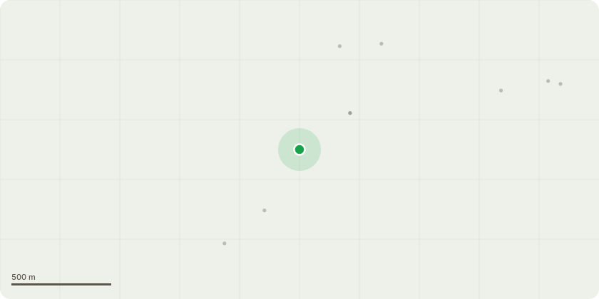
Approximate location
Proposal
Amended Description (received 19.02.2026):Tree Removals:Remove T19 (Common Ash) to create space for the vehicle passing place construction.Tree Pruning:Crown lift to 5.5m using industry best practice along the access track branches <100 mm diameter from W1 (woodland), W2 (woodland), W3 (woodland), W4 (woodlamd), H9 (lines of trees include Hazel, Blackthorn, Ash, Field Maple, Hawthorn), T21 (Common Beech), and G2 (Group of trees comprised of Beech, Field Maple, Ash, Hawthorn, Blackthorn, Privet), maintaining canopy connectivity where practicable.Crown lift to 5.5m using industry best practice pruning branches >100 mm diameter branches: T4 (Common Ash), T5 (Common Ash), T6 (Common Oak), T7 (Field Maple), and T20 (Common Beech). Upper limit diameters for branch removal are 150mm for T4, and 200mm for T7.Carry out veteran tree management to T8 (Common Ash), truncating low easternmost primary branch to approximately 5m from trunk with coronet cutting finishing cut, obtaining 5.5m clearance over track, carried out under an arboricultural watching brief.Crown lift to 5.5m T18 (Common Beech), reducing the end-weight of the branch in small sections and reassessing the height with each section removed, with the final pruning cut at suitable lateral growth, carried out under an arboricultural watching brief.Bridleway Re-Alignment:Woodchip from deciduous trees will be placed along the section of bridleway passing over the RPAs of T21 (Common Beech) and G2 (Group of trees comprised of Beech, Field Maple, Ash, Hawthorn, Blackthorn, Privet). This will be maintained at a depth of 150mm throughout the duration of its use.
Key dates
- Received 22 Jan 2026
- Validated 27 Jan 2026
- Started 27 Jan 2026
- Decided 5 Mar 2026
Planning history / related applications
No related planning applications have been identified in the current public OGL dataset.
Inside plotEdge
Go beyond the public record
This page is the public OGL record. plotEdge adds the private intelligence layer for this site - open it in the app to unlock:
- Ownership & title Registered owner and title from HM Land Registry.
- Viability & build potential Site scoring and development upside.
- Constraints Flood risk, green belt, conservation areas and designations.
- Approval signal Planning risk and approval-likelihood analysis.
- Comparable applications Decisions on similar nearby sites, side by side.
- Status alerts Get notified the moment this application changes.
Source: public planning application data from Isle of Wight, reused under the Open Government Licence v3.0. View the council source record. Council documents and drawings are not republished on plotEdge.