Ipswich
Ipswich/24/00952/VC
Former British Telecom Local Communications Services, Bibb Way, Ipswich, Suffolk
- Reference
- Ipswich/24/00952/VC
- Authority
- Ipswich
- Address
- Former British Telecom Local Communications Services, Bibb Way, Ipswich, Suffolk
- Status
- Application Withdrawn
- Received
- 10 Dec 2024
- Started
- 10 Dec 2024
- Source council
- Ipswich
- Council source record
- View public record
- Public data licence
- Open Government Licence v3.0
- Record updated
- 6 Aug 2026
- SEO index generated
- 7 Aug 2026
Location
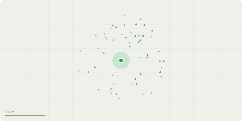
Approximate location
Proposal
Variation of planning Condition 34 of planning permission 21/00456/FUL (Demolition of existing buildings, alterations to external elevations of office building and erection of 72 residential dwellings comprising 41 flats and 31 houses, with associated access roads and new public footpath along the Alderman Canal, new pedestrian access to Handford Road, car parking and cycle storage facilitates, refuse/recycling storage facilities, open space, landscaping and ancillary works and infrastructure.) to read '1 electric car club vehicle is to be provided for occupiers by the end of June 2025 to use in accordance with a scheme providing details of the car club operator/management to be submitted and secured and approved in writing by the Local Planning Authority. Thereafter the car club vehicle shall be retained and maintained for its designated purpose, within its designated space as indicated on drawing no. 6755-MP2-1104-P3 for a minimum period of 3 years.'
Key dates
- Received 10 Dec 2024
- Started 10 Dec 2024
Planning history / related applications
No related planning applications have been identified in the current public OGL dataset.
Inside plotEdge
Go beyond the public record
This page is the public OGL record. plotEdge adds the private intelligence layer for this site - open it in the app to unlock:
- Ownership & title Registered owner and title from HM Land Registry.
- Viability & build potential Site scoring and development upside.
- Constraints Flood risk, green belt, conservation areas and designations.
- Approval signal Planning risk and approval-likelihood analysis.
- Comparable applications Decisions on similar nearby sites, side by side.
- Status alerts Get notified the moment this application changes.
Source: public planning application data from Ipswich, reused under the Open Government Licence v3.0. View the council source record. Council documents and drawings are not republished on plotEdge.