Ipswich
Ipswich/23/00977/REM
Land To South Of Railway Line, Westerfield Road, Ipswich, Suffolk
- Reference
- Ipswich/23/00977/REM
- Authority
- Ipswich
- Address
- Land To South Of Railway Line, Westerfield Road, Ipswich, Suffolk
- Status
- Approved/Conditions
- Received
- 9 Jan 2024
- Started
- 9 Jan 2024
- Source council
- Ipswich
- Council source record
- View public record
- Public data licence
- Open Government Licence v3.0
- Record updated
- 6 Aug 2026
- SEO index generated
- 7 Aug 2026
Location
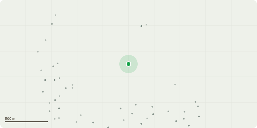
Approximate location
Proposal
Submission of reserved matters (access, landscaping, layout, scale, and appearance) for Phase 1 comprising 198 dwellings, an electricity sub-station, landscaping, open space, roads, and other associated works; in relation to outline planning permission IP/14/00638/OUTFL for a mixed use development for up to 815 dwellings (C3); a district centre; a primary school (D1); vehicular access from Westerfield Road (x2) and Henley Road (cycle, pedestrian, emergency vehicle, temporary bus route only); provision of public amenity space; infrastructure (including highways, parking, cycle, pedestrian routes, utilities and sustainable drainage systems); landscaping and engineering works. Works proposed will affect Tree Preservation Orders and public right of ways within the application site. The Application also seeks to part discharge condition 26 (Arboricultural Method Statement) of IP/14/00638/OUTFL in so far as they relate to Phase 1. IP/14/00638/OUTFL was EIA development, and an Environmental Statement was submitted with the application under the Town and Country Planning (Environmental Impact Assessment) (England and Wales) Regulations 2011 (as amended). (Note: Condition 26 of 14/00638/OUTFL has not been discharged by this application - refer to decision notice).
Key dates
- Received 9 Jan 2024
- Started 9 Jan 2024
Planning history / related applications
No related planning applications have been identified in the current public OGL dataset.
Inside plotEdge
Go beyond the public record
This page is the public OGL record. plotEdge adds the private intelligence layer for this site - open it in the app to unlock:
- Ownership & title Registered owner and title from HM Land Registry.
- Viability & build potential Site scoring and development upside.
- Constraints Flood risk, green belt, conservation areas and designations.
- Approval signal Planning risk and approval-likelihood analysis.
- Comparable applications Decisions on similar nearby sites, side by side.
- Status alerts Get notified the moment this application changes.
Source: public planning application data from Ipswich, reused under the Open Government Licence v3.0. View the council source record. Council documents and drawings are not republished on plotEdge.