Ipswich
Ipswich/23/00307/CON
25 Grimwade Street Student Union Club And Adjacent Car Parking Areas, Rope Walk, Ipswich, Suffolk
- Reference
- Ipswich/23/00307/CON
- Authority
- Ipswich
- Address
- 25 Grimwade Street Student Union Club And Adjacent Car Parking Areas, Rope Walk, Ipswich, Suffolk
- Status
- Part Approved Part Refused
- Received
- 4 May 2023
- Started
- 4 May 2023
- Source council
- Ipswich
- Council source record
- View public record
- Public data licence
- Open Government Licence v3.0
- Record updated
- 6 Aug 2026
- SEO index generated
- 7 Aug 2026
Location
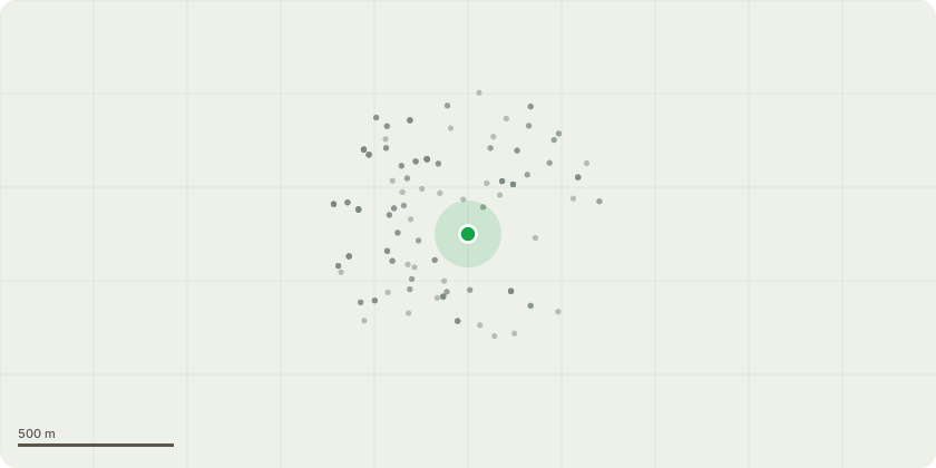
Approximate location
Proposal
Discharge of condition 2 of planning permission IP/17/00049/FUL relating to: 2) No development above slab level shall take place until such time as the following details have been submitted to and agreed in writing with the Local Planning Authority. The development shall only be implemented in accordance with the agreed details and any agreed works shall be carried out in their entirety before the development is first occupied and retained as such:- (i) - external facing and roofing materials including maintenance programme for cedar cladding and render; (ii) - hard and soft landscaping scheme including external surfacing and green roof design, retention of trees, and maintenance programme and root protection measures; (iii) - boundary treatments and gates including brick walls associated with entrance; (iv) - cycle storage and PTW parking details; (v) - refuse/recycle storage details; (vi) - ecological management plan (including hedgehog friendly boundary treatments); (vii) - landscape and parking management and maintenance plan; (viii) - external lighting; (ix) - renewable and low carbon technologies; (x) - electric vehicle recharging provision.
Key dates
- Received 4 May 2023
- Started 4 May 2023
Planning history / related applications
No related planning applications have been identified in the current public OGL dataset.
Inside plotEdge
Go beyond the public record
This page is the public OGL record. plotEdge adds the private intelligence layer for this site - open it in the app to unlock:
- Ownership & title Registered owner and title from HM Land Registry.
- Viability & build potential Site scoring and development upside.
- Constraints Flood risk, green belt, conservation areas and designations.
- Approval signal Planning risk and approval-likelihood analysis.
- Comparable applications Decisions on similar nearby sites, side by side.
- Status alerts Get notified the moment this application changes.
Source: public planning application data from Ipswich, reused under the Open Government Licence v3.0. View the council source record. Council documents and drawings are not republished on plotEdge.