Ipswich
Ipswich/22/00646/TALF
Car Parking And Amenity Area, Highwood Manor, 21 Constitution Hill, Ipswich, Suffolk
- Reference
- Ipswich/22/00646/TALF
- Authority
- Ipswich
- Address
- Car Parking And Amenity Area, Highwood Manor, 21 Constitution Hill, Ipswich, Suffolk
- Status
- Application Withdrawn
- Received
- 25 Jul 2022
- Started
- 25 Jul 2022
- Source council
- Ipswich
- Council source record
- View public record
- Public data licence
- Open Government Licence v3.0
- Record updated
- 6 Aug 2026
- SEO index generated
- 7 Aug 2026
Location
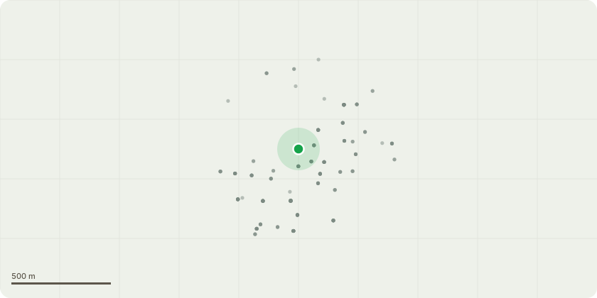
Approximate location
Proposal
Works to trees protected by TPO 1 of 1981: Atlas Cedar (T1) - Remove dead wood and any broken limbs to prevent decay. Crown lift to give a symmetrical look; Atlas Cedar (T2) - remove dead wood and any broken limbs; Atlas cedar (T3) - Emergency storm work has been completed, however it does require a reduction of 20% to reduce the weight on the limbs; Holm Oak (T4) (T5) (T6) - Need reduction and dead limb removal; Cypress (T10) Chestnut (T11) Sycamore (T12) - Root heave to foundation brickwork and paving. Need removing to ground; Dead tree (T13) - Remove to ground; Holm Oak (T14) - Remove to ground due to light suppression, causing the tree to lean out towards the road; Holm Oak (T15) - Reduce by 30% due to excessive shading at the front of the property; Yew (T16) - Remove to ground due to light suppression, causing the tree to lean out towards the road; Various trees and shrubs (G2) - To be reduced off the wall and street lights. Reduce back to boundary to prevent protruding onto the footpath.
Key dates
- Received 25 Jul 2022
- Started 25 Jul 2022
Planning history / related applications
No related planning applications have been identified in the current public OGL dataset.
Inside plotEdge
Go beyond the public record
This page is the public OGL record. plotEdge adds the private intelligence layer for this site - open it in the app to unlock:
- Ownership & title Registered owner and title from HM Land Registry.
- Viability & build potential Site scoring and development upside.
- Constraints Flood risk, green belt, conservation areas and designations.
- Approval signal Planning risk and approval-likelihood analysis.
- Comparable applications Decisions on similar nearby sites, side by side.
- Status alerts Get notified the moment this application changes.
Source: public planning application data from Ipswich, reused under the Open Government Licence v3.0. View the council source record. Council documents and drawings are not republished on plotEdge.