Hyndburn
Hyndburn/11/26/0427
- Reference
- Hyndburn/11/26/0427
- Authority
- Hyndburn
- Received
- 17 Sept 2026
- Started
- 17 Sept 2026
- Source council
- Hyndburn
- Council source record
- View public record
- Public data licence
- Open Government Licence v3.0
- Record updated
- 1 Oct 2026
- SEO index generated
- 2 Oct 2026
Location
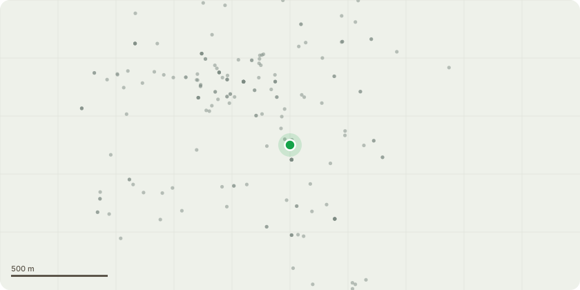
Approximate location
Proposal
Observations to Neighbouring LPA: Construction and operation of 12 wind turbines with a maximum height to the tip of the blade of 180 metres (above ground level), together with associated ancillary infrastructure comprising crane pads and hardstandings; new access tracks; improvement and widening works to Scout Road; onsite substation; underground electrical infrastructure and cabling; fencing and boundary treatments; external lighting; drainage infrastructure; habitat and moorland restoration works; public right of way works; landscaping; temporary construction compound and staging area; underground electrical grid connection to the Rossendale Bulk Supply Point; and associated engineering works; alongside the retention of and improvements to existing access tracks associated with the existing Scout Moor Wind Farm.
Key dates
- Received 17 Sept 2026
- Started 17 Sept 2026
Planning history / related applications
No related planning applications have been identified in the current public OGL dataset.
Inside plotEdge
Go beyond the public record
This page is the public OGL record. plotEdge adds the private intelligence layer for this site - open it in the app to unlock:
- Ownership & title Registered owner and title from HM Land Registry.
- Viability & build potential Site scoring and development upside.
- Constraints Flood risk, green belt, conservation areas and designations.
- Approval signal Planning risk and approval-likelihood analysis.
- Comparable applications Decisions on similar nearby sites, side by side.
- Status alerts Get notified the moment this application changes.
Source: public planning application data from Hyndburn, reused under the Open Government Licence v3.0. View the council source record. Council documents and drawings are not republished on plotEdge.