Hillingdon
Hillingdon/24843/APP/2026/228
COMAG TAVISTOCK ROAD YIEWSLEY UB7 7QE
- Reference
- Hillingdon/24843/APP/2026/228
- Authority
- Hillingdon
- Application type
- Full
- Address
- COMAG TAVISTOCK ROAD YIEWSLEY UB7 7QE
- Postcode
- UB7 7QE
- Status
- Undecided
- Received
- 27 Jan 2026
- Started
- 27 Jan 2026
- Source council
- Hillingdon
- Council source record
- View public record
- Public data licence
- Open Government Licence v3.0
- Record updated
- 11 Aug 2026
- SEO index generated
- 12 Aug 2026
Location
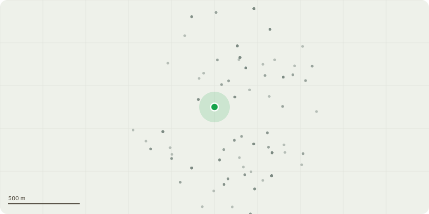
Approximate location
Proposal
Variation of Conditions 2 (Approved Plans) and 3 (Approved Documents) of planning permission reference 24843/APP/2022/2403, dated 11-06-2024 for the 'Erection of building comprising residential dwellings (Use Class C3), ranging from two to seven storeys together with associated accesses, car parking, cycle parking and hard and soft landscaping'(description amended via s96a application 24843/APP/2024/1586. Amendments include ground floor community hub replaced with residents' lounge and ancillary space; removal of separating wall between Blocks B and C; replacing 6 x 3-bedroom 5-person residential units with 6 x 3-bedroom 4-person residential units; construction of a 6-storey rear extension; installation of external staircase from the roof terrace to level 6; replacement of glazed balcony balustrades with metal balustrades; replacement of metal panels with brick panels; reconfiguration of green roof; lobby areas to Blocks B and C rearranged; cycle store layouts amended; cycle store enclosure amended from brickwork to hit and miss brickwork; balcony and window positions amended; and lift overruns and roof vents amended.
Key dates
- Received 27 Jan 2026
- Started 27 Jan 2026
Planning history / related applications
No related planning applications have been identified in the current public OGL dataset.
Inside plotEdge
Go beyond the public record
This page is the public OGL record. plotEdge adds the private intelligence layer for this site - open it in the app to unlock:
- Ownership & title Registered owner and title from HM Land Registry.
- Viability & build potential Site scoring and development upside.
- Constraints Flood risk, green belt, conservation areas and designations.
- Approval signal Planning risk and approval-likelihood analysis.
- Comparable applications Decisions on similar nearby sites, side by side.
- Status alerts Get notified the moment this application changes.
Source: public planning application data from Hillingdon, reused under the Open Government Licence v3.0. View the council source record. Council documents and drawings are not republished on plotEdge.