Hillingdon
Hillingdon/1331/APP/2025/3260
Block H Former Site of Nestle Former Nestle Site Hayes
- Reference
- Hillingdon/1331/APP/2025/3260
- Authority
- Hillingdon
- Application type
- Full
- Address
- Block H Former Site of Nestle Former Nestle Site Hayes
- Status
- Undecided
- Received
- 24 Dec 2025
- Started
- 24 Dec 2025
- Source council
- Hillingdon
- Council source record
- View public record
- Public data licence
- Open Government Licence v3.0
- Record updated
- 6 Aug 2026
- SEO index generated
- 7 Aug 2026
Location
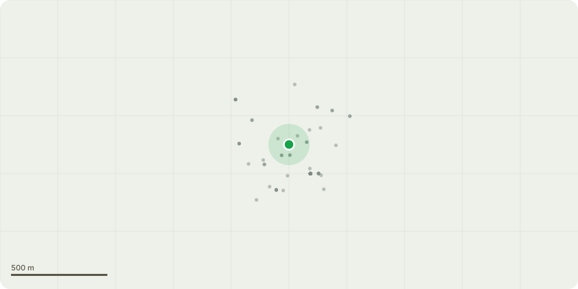
Approximate location
Proposal
Deed of Variation to the Section 106 Agreement associated with planning permission ref. 1331/APP/2022/2553 dated 05-07-2023 (Partial demolition and redevelopment of the former canteen building to provide a new healthcare facility (Class E(e)), nursery (Class E(f)) and reconfigured residential building (Block H) (Class C3) with a commercial unit at ground floor (Class E), including associated landscaping, access, car parking and other engineering works). To modify: the Definitions of "Former Canteen Building Obligations", "Offsite Highway Works", "Residential Land Planning Obligation"; Clause 5 The Residential Owner and Industrial Owners Covenants and Enforceability; Schedule 3, Part 1, paragraph 1 Highways Agreement and Offsite Highway Works; Schedule 3, paragraph 3 Former Canteen Building Parking Permit Restrictions; Schedule 8, Part 1, paragraph 1.7 - Air Quality Mitigation; Schedule 8, Part 2, paragraphs 3-5 Carbon Offset Fund; Schedule 9, Part 2 Former Canteen Building Travel Plan; Schedule 9, Part 3 Travel Plan Bond; Schedule 16C Former Canteen Building; Appendix 2 S106 Plans.
Key dates
- Received 24 Dec 2025
- Started 24 Dec 2025
Planning history / related applications
No related planning applications have been identified in the current public OGL dataset.
Inside plotEdge
Go beyond the public record
This page is the public OGL record. plotEdge adds the private intelligence layer for this site - open it in the app to unlock:
- Ownership & title Registered owner and title from HM Land Registry.
- Viability & build potential Site scoring and development upside.
- Constraints Flood risk, green belt, conservation areas and designations.
- Approval signal Planning risk and approval-likelihood analysis.
- Comparable applications Decisions on similar nearby sites, side by side.
- Status alerts Get notified the moment this application changes.
Source: public planning application data from Hillingdon, reused under the Open Government Licence v3.0. View the council source record. Council documents and drawings are not republished on plotEdge.