Hertsmere
Hertsmere/26/0195/TPO
The Cloisters High Street Bushey Hertfordshire
- Reference
- Hertsmere/26/0195/TPO
- Authority
- Hertsmere
- Application type
- Tree preservation order
- Address
- The Cloisters High Street Bushey Hertfordshire
- Status
- Decided
- Decision
- TPO Consent Lesser Works
- Received
- 13 Feb 2026
- Validated
- 18 Mar 2026
- Started
- 18 Mar 2026
- Decided
- 24 Apr 2026
- Source council
- Hertsmere
- Council source record
- View public record
- Public data licence
- Open Government Licence v3.0
- Record updated
- 6 Aug 2026
- SEO index generated
- 7 Aug 2026
Location
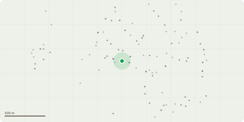
Approximate location
Proposal
T22 CEDAR. Crown imbalance over neighbours gardens, with over extended lateral limbs. Reduce lateral limbs over neighbours gardens by up to 2-2.5m, to leave limbs at least 4m long, to reduce weight and wind loading, and chance of significant failures over domestic properties. Reduce height of tree by 1-2m to give a new height of 12m to balance canopy. T20 CEDAR. Tree has suffered several limb failures, and currently has one lodged in the main canopy. Current height 18m. Reduce height by up to 2.5 - 3m, to give a new height of 15m. Slight crown imbalance over neighbours gardens, with over extended lateral limbs. Reduce lateral limbs over neighbours gardens by up to 2-2.5m, giving a lateral length to retained limbs of at least 4m to reduce weight and wind loading, and chance of significant failures over domestic properties. Overall aim to maintain tree at a reasonable size for location with high targets under both sides, whilst reducing chance of future failures T15 CYPRESS - Reduce limb growing towards building by 1- 1.5m, to give 2m of clearance from building, and a retained branch length of 2m.T6 and T7 2no. FALSE ACACIA. Remove. Both trees have significant decay and damage to main stems in first 2m of stem. Have been heavily reduced in the past, have a heavily weighted canopy / crown imbalance over neighbours car park, and extensive deadwood in canopies - remove and replant to prevent failure over a very busy carpark and office area
Key dates
- Received 13 Feb 2026
- Validated 18 Mar 2026
- Started 18 Mar 2026
- Decided 24 Apr 2026
Planning history / related applications
No related planning applications have been identified in the current public OGL dataset.
Inside plotEdge
Go beyond the public record
This page is the public OGL record. plotEdge adds the private intelligence layer for this site - open it in the app to unlock:
- Ownership & title Registered owner and title from HM Land Registry.
- Viability & build potential Site scoring and development upside.
- Constraints Flood risk, green belt, conservation areas and designations.
- Approval signal Planning risk and approval-likelihood analysis.
- Comparable applications Decisions on similar nearby sites, side by side.
- Status alerts Get notified the moment this application changes.
Source: public planning application data from Hertsmere, reused under the Open Government Licence v3.0. View the council source record. Council documents and drawings are not republished on plotEdge.