Havering
Havering/T0106.26
22 Heath Drive Romford RM2 5QJ
- Reference
- Havering/T0106.26
- Authority
- Havering
- Address
- 22 Heath Drive Romford RM2 5QJ
- Postcode
- RM2 5QJ
- Status
- Undecided
- Received
- 17 Aug 2026
- Started
- 17 Aug 2026
- Source council
- Havering
- Council source record
- View public record
- Public data licence
- Open Government Licence v3.0
- Record updated
- 19 Aug 2026
- SEO index generated
- 22 Aug 2026
Location
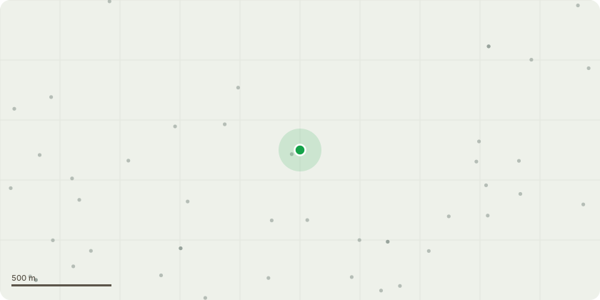
Approximate location
Proposal
T1 (front grd right side of property) Eucalyptus Fell as close to ground level as possible, poison stump and remove all arisings. Works due to excessive bird faeces, excessive shading and wrong position for tree. Likely reason for block paving lifting but not established. Suggested replanting with more suitable tree in a more suitable place. T2 (rear grd right fence line) Silver birch (standing Dead tree) Fell as close to ground level as possible and remove all arisings T3 Ex-Large Poplar Bottom of garden by lake (Standing dead tree) Fell as close to railing level as possible, Ganoderma present at base, no foliage in tree. There is a lot of rot at the base so itâ??s unsafe to climb, a Spider Mewp is required to carry out these works.
Key dates
- Received 17 Aug 2026
- Started 17 Aug 2026
Planning history / related applications
No related planning applications have been identified in the current public OGL dataset.
Inside plotEdge
Go beyond the public record
This page is the public OGL record. plotEdge adds the private intelligence layer for this site - open it in the app to unlock:
- Ownership & title Registered owner and title from HM Land Registry.
- Viability & build potential Site scoring and development upside.
- Constraints Flood risk, green belt, conservation areas and designations.
- Approval signal Planning risk and approval-likelihood analysis.
- Comparable applications Decisions on similar nearby sites, side by side.
- Status alerts Get notified the moment this application changes.
Source: public planning application data from Havering, reused under the Open Government Licence v3.0. View the council source record. Council documents and drawings are not republished on plotEdge.