Havering
Havering/T0105.26
40 Crown House, Talfourds Solicitors North Street Hornchurch RM11 1EW
- Reference
- Havering/T0105.26
- Authority
- Havering
- Address
- 40 Crown House, Talfourds Solicitors North Street Hornchurch RM11 1EW
- Postcode
- RM11 1EW
- Status
- Undecided
- Received
- 14 Aug 2026
- Started
- 14 Aug 2026
- Source council
- Havering
- Council source record
- View public record
- Public data licence
- Open Government Licence v3.0
- Record updated
- 18 Aug 2026
- SEO index generated
- 21 Aug 2026
Location
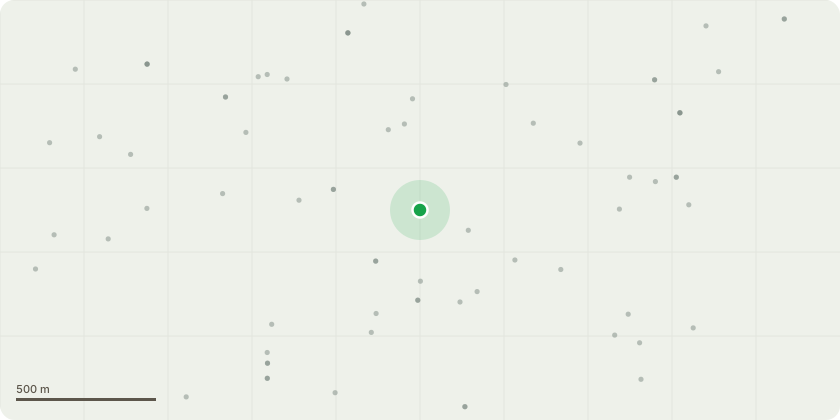
Approximate location
Proposal
T1 Holm Oak located to the northern end of the street front car park at Crown House. North Street. Hornchurch. T1 Holm Oak â?? selective whole-crown reduction. Carry out a selective whole-crown reduction to T1 Holm Oak, not exceeding 4 m in any part of the crown, pruning back to suitable secondary growth points and/or historic pruning points where available. The works are to include reduction of the eastern crown to provide clearance of a minimum of 1.5m from the eastern face windows of Crown House, together with a balancing reduction to the remaining crown sections to retain a natural and balanced crown form. All works are to be undertaken in accordance with BS 3998:2010. The reasons for the works are to reduce crown encroachment over Crown House, lessen end-weight on extended scaffold limbs, improve crown balance, and reduce mechanical loading associated with the treeâ??s developed crown form. The tree has an established history of crown reduction, including previous consents in 2008 and 2018, and no reduction has been carried out since the 2018 consent. The crown has since extended approximately 3â??4 m over the building, with foliage close to upper windows. The proposed works are therefore intended as proportionate cyclical management to retain the Holm Oak safely as an amenity tree while addressing building clearance, structural loading and crown imbalance.
Key dates
- Received 14 Aug 2026
- Started 14 Aug 2026
Planning history / related applications
No related planning applications have been identified in the current public OGL dataset.
Inside plotEdge
Go beyond the public record
This page is the public OGL record. plotEdge adds the private intelligence layer for this site - open it in the app to unlock:
- Ownership & title Registered owner and title from HM Land Registry.
- Viability & build potential Site scoring and development upside.
- Constraints Flood risk, green belt, conservation areas and designations.
- Approval signal Planning risk and approval-likelihood analysis.
- Comparable applications Decisions on similar nearby sites, side by side.
- Status alerts Get notified the moment this application changes.
Source: public planning application data from Havering, reused under the Open Government Licence v3.0. View the council source record. Council documents and drawings are not republished on plotEdge.