Hart
Hart/26/00576/TPO
Street Record Hitches Lane Fleet
- Reference
- Hart/26/00576/TPO
- Authority
- Hart
- Application type
- Tree preservation order
- Address
- Street Record Hitches Lane Fleet
- Status
- Registered
- Received
- 7 Apr 2026
- Started
- 7 Apr 2026
- Source council
- Hart
- Council source record
- View public record
- Public data licence
- Open Government Licence v3.0
- Record updated
- 6 Aug 2026
- SEO index generated
- 7 Aug 2026
Location
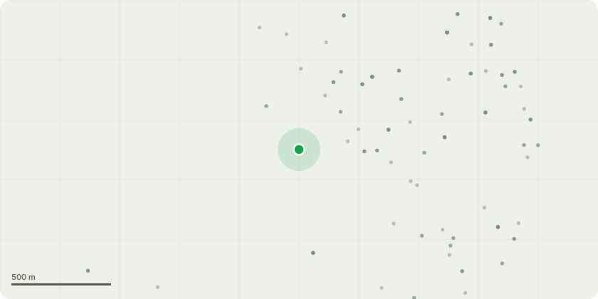
Approximate location
Proposal
G1 - Primary Oak and Hazel - Fell a total of 55 trees to be removed to facilitate installation of a shared use path to extend the highway infrastructure. Please see attached plan. 11 trees have already been felled to facilitate a new rising main for Thames Water. These are also indicated on the plan. There will be very little space for replacement planting within the red line area (c. 5 trees can probably be accommodated subject to ground conditions), so alternative sites will be identified as close as reasonably practical to the location to meet the LPA requirement for replacement. Due to the timescales involved in highway schemes, a completion period of three years would be very much appreciated if consent is given.
Key dates
- Received 7 Apr 2026
- Started 7 Apr 2026
Planning history / related applications
No related planning applications have been identified in the current public OGL dataset.
Inside plotEdge
Go beyond the public record
This page is the public OGL record. plotEdge adds the private intelligence layer for this site - open it in the app to unlock:
- Ownership & title Registered owner and title from HM Land Registry.
- Viability & build potential Site scoring and development upside.
- Constraints Flood risk, green belt, conservation areas and designations.
- Approval signal Planning risk and approval-likelihood analysis.
- Comparable applications Decisions on similar nearby sites, side by side.
- Status alerts Get notified the moment this application changes.
Source: public planning application data from Hart, reused under the Open Government Licence v3.0. View the council source record. Council documents and drawings are not republished on plotEdge.