Harlow
Harlow/HW/EIAO/26/00427
PHE Coldharbour Road Harlow Essex CM19 5AD
- Reference
- Harlow/HW/EIAO/26/00427
- Authority
- Harlow
- Address
- PHE Coldharbour Road Harlow Essex CM19 5AD
- Postcode
- CM19 5AD
- Status
- Unknown
- Received
- 20 Oct 2026
- Validated
- 20 Oct 2026
- Started
- 20 Oct 2026
- Source council
- Harlow
- Council source record
- View public record
- Public data licence
- Open Government Licence v3.0
- Record updated
- 27 Oct 2026
- SEO index generated
- 28 Oct 2026
Location
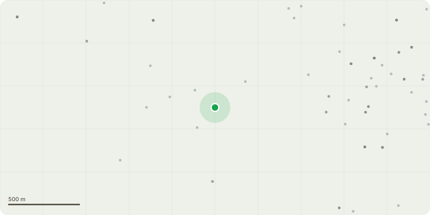
Approximate location
Proposal
Environmental Impact Assessment (EIA) Screening Opinion under Regulation 6(1) of the Town and Country Planning (Environmental Impact Assessment) Regulations 2017 (as amended) for demolition of three buildings and structures, namely Building H39 (the Energy Centre), Building SC1 (including link bridge connecting to Building H35), and the Tank Farm. The total floorspace to be demolished comprises approximately 45,000 sqm Gross Internal Area (GIA).
Key dates
- Received 20 Oct 2026
- Validated 20 Oct 2026
- Started 20 Oct 2026
Planning history / related applications
No related planning applications have been identified in the current public OGL dataset.
Inside plotEdge
Go beyond the public record
This page is the public OGL record. plotEdge adds the private intelligence layer for this site - open it in the app to unlock:
- Ownership & title Registered owner and title from HM Land Registry.
- Viability & build potential Site scoring and development upside.
- Constraints Flood risk, green belt, conservation areas and designations.
- Approval signal Planning risk and approval-likelihood analysis.
- Comparable applications Decisions on similar nearby sites, side by side.
- Status alerts Get notified the moment this application changes.
Source: public planning application data from Harlow, reused under the Open Government Licence v3.0. View the council source record. Council documents and drawings are not republished on plotEdge.