Haringey
Haringey/HGY/2026/2847
Opposite 1-3 Rookfield Avenue and behind 8–12A Rookfield Close London N10 3TS
- Reference
- Haringey/HGY/2026/2847
- Authority
- Haringey
- Address
- Opposite 1-3 Rookfield Avenue and behind 8–12A Rookfield Close London N10 3TS
- Postcode
- N10 3TS
- Status
- Under Consultation
- Received
- 15 Oct 2026
- Started
- 15 Oct 2026
- Source council
- Haringey
- Council source record
- View public record
- Public data licence
- Open Government Licence v3.0
- Record updated
- 16 Oct 2026
- SEO index generated
- 20 Oct 2026
Location
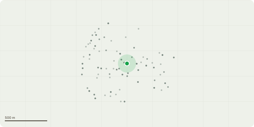
Approximate location
Proposal
Five Day Notice. Proposed felling of the Horse Chestnut (Aesculus hippocastanum) by 1-3 Rookfield Avenue and behind 8–12A Rookfield Close, London N10 3TR, on health and safety grounds. The previous Picus assessment, undertaken on 17 September 2025 and reported on 23 September 2025, identified altered timber at the base adjacent to the fungal bracket. At that time, continued crown management and regular monitoring for further decay were recommended. This was marked deterioration since a prior Picus test in June 2021 when the Ganoderma was noted to be still quite fresh. Since that assessment, further decay has been observed and the Ganoderma bracket has increased in size, raising concern about the progression of decay and the tree’s structural integrity. In light of this deterioration, I now recommend felling the tree to mitigate the risk of failure and injury to people or damage to surrounding property. The 2025 report is attached for reference.
Key dates
- Received 15 Oct 2026
- Started 15 Oct 2026
Planning history / related applications
No related planning applications have been identified in the current public OGL dataset.
Inside plotEdge
Go beyond the public record
This page is the public OGL record. plotEdge adds the private intelligence layer for this site - open it in the app to unlock:
- Ownership & title Registered owner and title from HM Land Registry.
- Viability & build potential Site scoring and development upside.
- Constraints Flood risk, green belt, conservation areas and designations.
- Approval signal Planning risk and approval-likelihood analysis.
- Comparable applications Decisions on similar nearby sites, side by side.
- Status alerts Get notified the moment this application changes.
Source: public planning application data from Haringey, reused under the Open Government Licence v3.0. View the council source record. Council documents and drawings are not republished on plotEdge.