Haringey
Haringey/HGY/2026/1717
1A Dukes Avenue Hornsey London N10 2PS
- Reference
- Haringey/HGY/2026/1717
- Authority
- Haringey
- Address
- 1A Dukes Avenue Hornsey London N10 2PS
- Postcode
- N10 2PS
- Status
- Under Consultation
- Source council
- Haringey
- Council source record
- View public record
- Public data licence
- Open Government Licence v3.0
- Record updated
- 3 Aug 2026
- SEO index generated
- 4 Aug 2026
Location
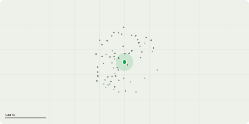
Approximate location
Proposal
Tree T1 – Mature Robinia pseudoacacia Proposed Works: Fell to ground level and grind stump where practicable. T1 is a mature tree situated immediately adjacent to the public highway and pedestrian footway. The tree exhibits a pronounced lean towards the highway and public footpath, resulting in a substantial proportion of the crown mass being biased over areas of frequent pedestrian and vehicular occupation. Inspection of the tree identified a significant historic wound within the principal stem, believed to be associated with previous chainsaw operations and/or historic pruning works. Whilst wound wood has developed around the margins of the injury, the defect remains evident within a primary structural section of the tree and represents a potential point of weakness. Robinia pseudoacacia is widely recognised as a species with comparatively brittle timber characteristics and a limited ability to effectively compartmentalise decay following large mechanical injuries. Consequently historic stem damage of this nature may result in progressive internal deterioration that is not always externally visible. The tree is additionally responsible for significant displacement and distortion of surrounding hardstanding surfaces through root activity. The lifting and deformation of paving adjacent to the stem indicate ongoing root pressure and demonstrate the tree’s interaction with surrounding infrastructure. The following factors have been considered collectively: Pronounced stem lean towards a heavily used public footway and highway. Historic mechanical injury to a principal stem section. Potential for internal dysfunction associated with the wound. Species characteristics associated with brittle timber and structural limb failure. Species characteristics associated with brittle timber and structural limb failure. High target occupancy beneath and adjacent to the tree. Removal and replacement planting with a more suitable species is therefore considered the most appropriate long-term management solution. Tree T2 – Mature Robinia pseudoacacia. Proposed Works: Crown reduction by approximately 3 metres in height and 1.5–2 metres laterally. Remove deadwood throughout crown. Prune and reshape crown to provide suitable clearance from adjacent building and achieve a balanced form. The crown currently extends towards the neighbouring building where lateral branches are in direct contact with the structure and are causing abrasion against the building. The proposed crown reduction will: Provide suitable clearance from the adjacent building. Reduce end-weight on extended lateral limbs. Improve crown balance and form. Remove dead, damaged and diseased wood. Improve long-term management and retention of the tree. The works are intended as routine arboricultural maintenance and are not expected to adversely affect the health or amenity value of the tree All pruning works will be undertaken in accordance with the recommendations of BS3998:2010 Tree Work Recommendations
Planning history / related applications
No related planning applications have been identified in the current public OGL dataset.
Inside plotEdge
Go beyond the public record
This page is the public OGL record. plotEdge adds the private intelligence layer for this site - open it in the app to unlock:
- Ownership & title Registered owner and title from HM Land Registry.
- Viability & build potential Site scoring and development upside.
- Constraints Flood risk, green belt, conservation areas and designations.
- Approval signal Planning risk and approval-likelihood analysis.
- Comparable applications Decisions on similar nearby sites, side by side.
- Status alerts Get notified the moment this application changes.
Source: public planning application data from Haringey, reused under the Open Government Licence v3.0. View the council source record. Council documents and drawings are not republished on plotEdge.