Haringey
Haringey/HGY/2026/1337
Eton Court 6 Shepherds Hill Hornsey London N6 5AF
- Reference
- Haringey/HGY/2026/1337
- Authority
- Haringey
- Address
- Eton Court 6 Shepherds Hill Hornsey London N6 5AF
- Postcode
- N6 5AF
- Status
- Decision Made
- Source council
- Haringey
- Council source record
- View public record
- Public data licence
- Open Government Licence v3.0
- Record updated
- 3 Aug 2026
- SEO index generated
- 4 Aug 2026
Location
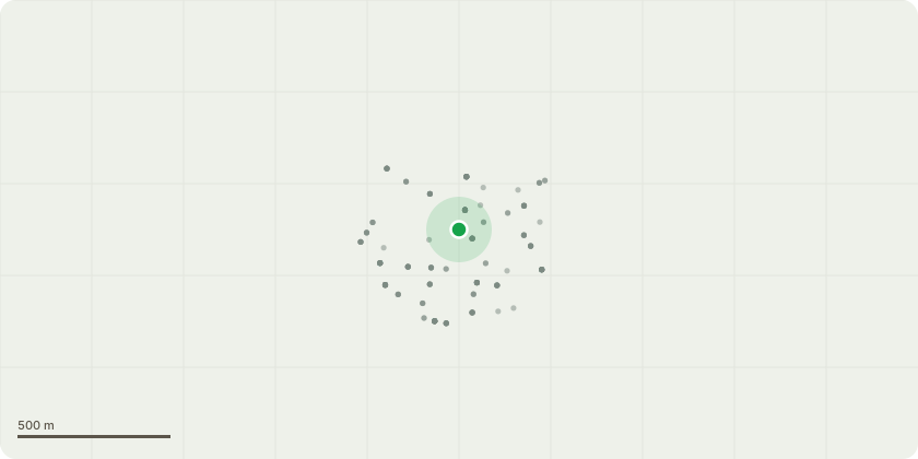
Approximate location
Proposal
Works to tree protected by a TPO. Sycamore - Crown reduce the height and spread back to the previous reduction points (approx. 30%) height approx. 2.5m and spread approx. 2.0m Remove dead wood The tree is situated on unregistered/ownerless land adjacent to our residential block and is causing ongoing damage to essential drainage infrastructure. The root system has infiltrated the sewage pit serving the building and is interfering with the float mechanism of the sewage lifting pump. This has already resulted in operational issues, including the pump cutting out. In February 2026, a contractor removed a significant quantity of roots from the chamber and advised that further root ingress is likely due to the proximity and size of the tree. Continued root growth presents a risk of pump failure and potential sewage backflow, with associated health and property damage implications. The proposed 30% crown reduction is intended as a proportionate management measure to reduce the tree’s water demand and vigour, thereby helping to limit further root encroachment, while retaining the tree and its amenity value. (attached photo of roots)
Planning history / related applications
No related planning applications have been identified in the current public OGL dataset.
Inside plotEdge
Go beyond the public record
This page is the public OGL record. plotEdge adds the private intelligence layer for this site - open it in the app to unlock:
- Ownership & title Registered owner and title from HM Land Registry.
- Viability & build potential Site scoring and development upside.
- Constraints Flood risk, green belt, conservation areas and designations.
- Approval signal Planning risk and approval-likelihood analysis.
- Comparable applications Decisions on similar nearby sites, side by side.
- Status alerts Get notified the moment this application changes.
Source: public planning application data from Haringey, reused under the Open Government Licence v3.0. View the council source record. Council documents and drawings are not republished on plotEdge.