Haringey
Haringey/HGY/2026/1320
76 Muswell Road Hornsey London N10 2BE
- Reference
- Haringey/HGY/2026/1320
- Authority
- Haringey
- Address
- 76 Muswell Road Hornsey London N10 2BE
- Postcode
- N10 2BE
- Status
- Decision Made
- Source council
- Haringey
- Council source record
- View public record
- Public data licence
- Open Government Licence v3.0
- Record updated
- 3 Aug 2026
- SEO index generated
- 4 Aug 2026
Location
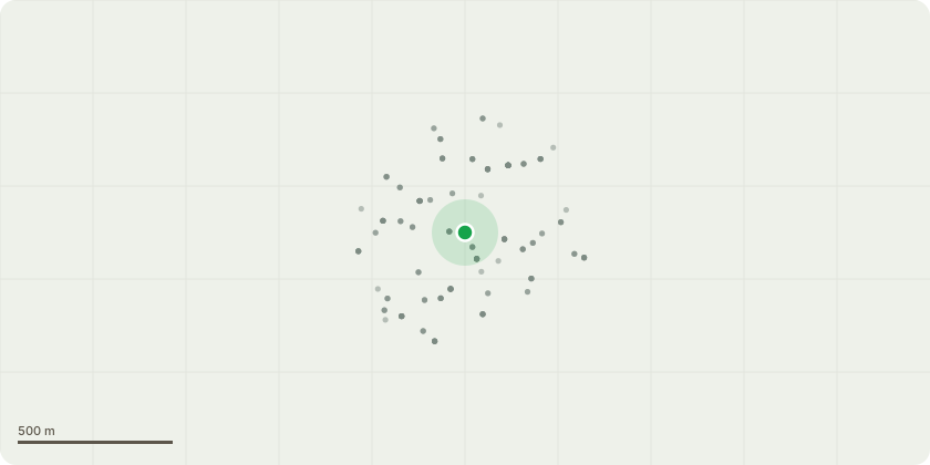
Approximate location
Proposal
Tree 2 on plan - cherry plum tree. Tree 3 on plan - western red ceder tree. Tree 4 on plan - plum tree. Tree 1 on plan - honey locust. We bought this house around a year ago, it was in a state of neglect. The garden and trees have not been managed for decades. Whilst we have cut back and tidied the garden, these four trees are causing significant damage. Aside from bringing down the fences, the large roots, evident all over the garden are causing damage to the property. Examples of damage and cracks are attached. We have had a structural engineer at the property as we are hoping to renovate, and he has advised they must be felled before repairs are made. We urgently need this done before the summer makes the ground drier to try to limit the damage to ours or any other property. We will take further advice on timing of removals etc. There are lots of other trees / shrubs in the garden, including some that provide high screening / privacy that can remain, but we urgently need to have the trees cut down before more damage is done. Once the works are complete we would look to replant 2-3 smaller trees that we can manage.
Planning history / related applications
No related planning applications have been identified in the current public OGL dataset.
Inside plotEdge
Go beyond the public record
This page is the public OGL record. plotEdge adds the private intelligence layer for this site - open it in the app to unlock:
- Ownership & title Registered owner and title from HM Land Registry.
- Viability & build potential Site scoring and development upside.
- Constraints Flood risk, green belt, conservation areas and designations.
- Approval signal Planning risk and approval-likelihood analysis.
- Comparable applications Decisions on similar nearby sites, side by side.
- Status alerts Get notified the moment this application changes.
Source: public planning application data from Haringey, reused under the Open Government Licence v3.0. View the council source record. Council documents and drawings are not republished on plotEdge.