Haringey
Haringey/HGY/2026/1135
The Studio Dukes Head Yard Hornsey London N6 5JQ
- Reference
- Haringey/HGY/2026/1135
- Authority
- Haringey
- Address
- The Studio Dukes Head Yard Hornsey London N6 5JQ
- Postcode
- N6 5JQ
- Status
- Decision Made
- Source council
- Haringey
- Council source record
- View public record
- Public data licence
- Open Government Licence v3.0
- Record updated
- 3 Aug 2026
- SEO index generated
- 4 Aug 2026
Location
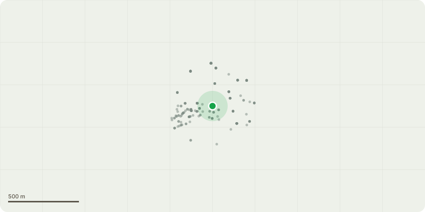
Approximate location
Proposal
Rear of The Studio: T1 & T2: 2 x Mature Apple's: Approximately 5.00m-6.00m: Reduce back to previous and recent points of reduction whilst preserving approximately 30% of shortened furnishing growth approximately 0.50m to ensure crown continuity and preserve a natural crown line. Remove major dead wood throughout the crowns. General maintenance. T3: Mature Yew Tree: Approximately 8.00m: Reduce crown height by approximately 1.20m-1.50m as is practicable whilst preserving adequate foliage cover and therefore perceived density. Reduce lateral and sub lateral branches overhanging the garden by up to approximately 0.50m. To help control encroachment. H1: Yew Hedge: Approximately 2.50m: Reduce height by approximately 0.40m as is practicable whilst preserving adequate outer branch structure. Trim lateral growth to tidy. General maintenance. T4: Fig: Approximately 4.00m-5.00m: Remove stems growing away from the wall, preserve the main espaliered stems as main framework. Remove minor growth by reducing back to previous points of reduction, preserve 30% of furnishing growth which should be shortened to approximately 20cm-30cm. Remove dead wood. T5: Large Shrub Feijoa: Approximately 5.00m: Reduce crown by up to approximately 1.30m. General maintenance. T6: Bay: Approximately 1.50m: Fell to ground level. Growing within very close proximity to the building. Replacement tree will be re planted further away from the building
Planning history / related applications
No related planning applications have been identified in the current public OGL dataset.
Inside plotEdge
Go beyond the public record
This page is the public OGL record. plotEdge adds the private intelligence layer for this site - open it in the app to unlock:
- Ownership & title Registered owner and title from HM Land Registry.
- Viability & build potential Site scoring and development upside.
- Constraints Flood risk, green belt, conservation areas and designations.
- Approval signal Planning risk and approval-likelihood analysis.
- Comparable applications Decisions on similar nearby sites, side by side.
- Status alerts Get notified the moment this application changes.
Source: public planning application data from Haringey, reused under the Open Government Licence v3.0. View the council source record. Council documents and drawings are not republished on plotEdge.