Haringey
Haringey/HGY/2026/1103
21 Elms Avenue Hornsey London N10 2JN
- Reference
- Haringey/HGY/2026/1103
- Authority
- Haringey
- Address
- 21 Elms Avenue Hornsey London N10 2JN
- Postcode
- N10 2JN
- Status
- Decision Made
- Source council
- Haringey
- Council source record
- View public record
- Public data licence
- Open Government Licence v3.0
- Record updated
- 3 Aug 2026
- SEO index generated
- 4 Aug 2026
Location
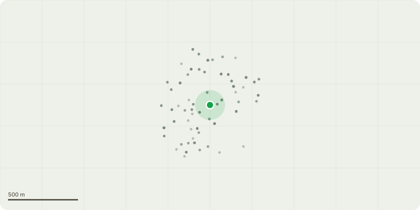
Approximate location
Proposal
T1 - Horse Chestnut - remove to ground level. Reasons for removal: - Appearance and Scale: Due to its size and overshadowing impact on neighbouring gardens, the tree has been significantly pollarded and lacks a natural form. This has clearly put the tree under stress, as evidenced by epicormic growth around the trunk. Additionally, the tree suffers from leaf miner, which further diminishes its aesthetic value. - Damage to Garden Infrastructure: We have identified cracks in the walls and paving of nearby garden infrastructure, likely caused by the tree's roots. The retaining wall is now being replaced. - Alternative Planting: As part of the garden redesign, we are proposing more appropriately scaled trees to mitigate the loss. In addition to three smaller trees, a Liquidambar will be planted in the same location to provide an attractive range of seasonal colour for the adjoining gardens to enjoy. - Practical Removal: We understand the tree is nearing the end of its life. Given that the street is terraced, the current building works provide a unique opportunity to fell and remove the tree through the house without causing damage.
Planning history / related applications
No related planning applications have been identified in the current public OGL dataset.
Inside plotEdge
Go beyond the public record
This page is the public OGL record. plotEdge adds the private intelligence layer for this site - open it in the app to unlock:
- Ownership & title Registered owner and title from HM Land Registry.
- Viability & build potential Site scoring and development upside.
- Constraints Flood risk, green belt, conservation areas and designations.
- Approval signal Planning risk and approval-likelihood analysis.
- Comparable applications Decisions on similar nearby sites, side by side.
- Status alerts Get notified the moment this application changes.
Source: public planning application data from Haringey, reused under the Open Government Licence v3.0. View the council source record. Council documents and drawings are not republished on plotEdge.