Haringey
Haringey/HGY/2026/1072
1 Chaplin Road Tottenham London N17 6QE
- Reference
- Haringey/HGY/2026/1072
- Authority
- Haringey
- Address
- 1 Chaplin Road Tottenham London N17 6QE
- Postcode
- N17 6QE
- Status
- Under Consultation
- Source council
- Haringey
- Council source record
- View public record
- Public data licence
- Open Government Licence v3.0
- Record updated
- 3 Aug 2026
- SEO index generated
- 4 Aug 2026
Location
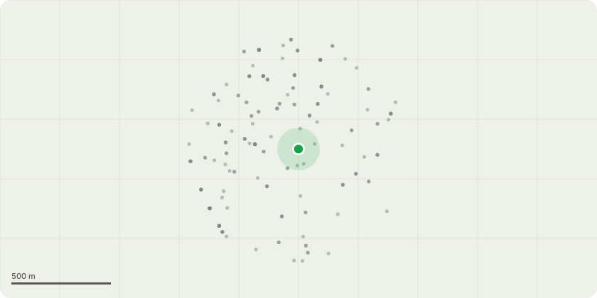
Approximate location
Proposal
I am requesting permission to fell a mature tree located at the rear of the garden. The tree species is currently unknown; however, photographs can be provided to assist identification. The tree is not subject to a Tree Preservation Order (TPO), but the property lies within a designated conservation area, and therefore this notification is being submitted in accordance with conservation area requirements. The tree is of significant size and is located in relatively close proximity to the property. Due to its scale and position, there are increasing concerns regarding potential risk to the property, particularly in relation to structural impact, falling branches, and general safety. The size of the tree is also becoming unsuitable for the garden environment, contributing to excessive shading and maintenance concerns. In light of the above, I request consent to remove the tree in full. I am willing to consider replacement planting if required by the council.
Planning history / related applications
No related planning applications have been identified in the current public OGL dataset.
Inside plotEdge
Go beyond the public record
This page is the public OGL record. plotEdge adds the private intelligence layer for this site - open it in the app to unlock:
- Ownership & title Registered owner and title from HM Land Registry.
- Viability & build potential Site scoring and development upside.
- Constraints Flood risk, green belt, conservation areas and designations.
- Approval signal Planning risk and approval-likelihood analysis.
- Comparable applications Decisions on similar nearby sites, side by side.
- Status alerts Get notified the moment this application changes.
Source: public planning application data from Haringey, reused under the Open Government Licence v3.0. View the council source record. Council documents and drawings are not republished on plotEdge.