Haringey
Haringey/HGY/2026/1038
162 Stapleton Hall Road Hornsey London N4 4QJ
- Reference
- Haringey/HGY/2026/1038
- Authority
- Haringey
- Address
- 162 Stapleton Hall Road Hornsey London N4 4QJ
- Postcode
- N4 4QJ
- Status
- Decision Made
- Source council
- Haringey
- Council source record
- View public record
- Public data licence
- Open Government Licence v3.0
- Record updated
- 3 Aug 2026
- SEO index generated
- 4 Aug 2026
Location
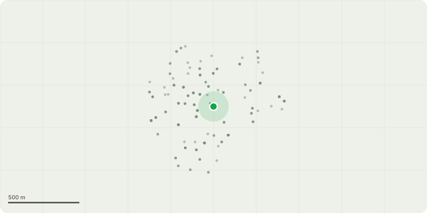
Approximate location
Proposal
Five Day Notice. T1 - dead Cherry tree in rear garden. Remove in order to protect life and property in 162 and 164 Stapleton Hall Road. In terms of re planting intentions, we were actually going to just let a stump remain around 6 ft from the ground - this would not pose a danger even in high winds, and eventually would be recolonised by ivy and possibly be helpful to wildlife as it starts to rot from the inside and could serve as a home for various insects.
Planning history / related applications
No related planning applications have been identified in the current public OGL dataset.
Inside plotEdge
Go beyond the public record
This page is the public OGL record. plotEdge adds the private intelligence layer for this site - open it in the app to unlock:
- Ownership & title Registered owner and title from HM Land Registry.
- Viability & build potential Site scoring and development upside.
- Constraints Flood risk, green belt, conservation areas and designations.
- Approval signal Planning risk and approval-likelihood analysis.
- Comparable applications Decisions on similar nearby sites, side by side.
- Status alerts Get notified the moment this application changes.
Source: public planning application data from Haringey, reused under the Open Government Licence v3.0. View the council source record. Council documents and drawings are not republished on plotEdge.