Haringey
Haringey/HGY/2026/0733
33 Hillfield Park Hornsey London N10 3QT
- Reference
- Haringey/HGY/2026/0733
- Authority
- Haringey
- Address
- 33 Hillfield Park Hornsey London N10 3QT
- Postcode
- N10 3QT
- Status
- Decision Made
- Source council
- Haringey
- Council source record
- View public record
- Public data licence
- Open Government Licence v3.0
- Record updated
- 3 Aug 2026
- SEO index generated
- 4 Aug 2026
Location
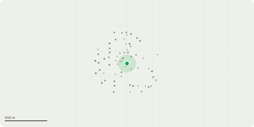
Approximate location
Proposal
Works to tree protected by a TPO. T1 Holm Oak, Quercus ilex in rear garden - fell. After a number of fungi appeared on the tree in 2024 I had a Picus Test performed on the tree in October 2014 which identified decay on the interior of the tree and recommended significant pruning, which was carried out in February 2025. Unfortunately, a number of very large shaggy bracket fungi, Ionotus Hispidus have appeared on the trunk of the tree since then, raising my concern that the health of the tree was continuing to deteriorate. I had the tree assessed again by a qualified tree surgeon in January 2026 and since heavy branches have continued to fall from the tree, to protect the nearby houses and the Marks & Spencer car park to the rear of the garden they have recommended felling of the tree. The tree is 18 metres tall but only 12 metres from the house. I propose to replace the tree and would appreciate your advice on a replacement, bearing in mind the locations proximity to the building. I attach the 2024 Picus test results, the recent tree surgeon's report, a Sketch Plan and supporting photos of the fungi.
Planning history / related applications
No related planning applications have been identified in the current public OGL dataset.
Inside plotEdge
Go beyond the public record
This page is the public OGL record. plotEdge adds the private intelligence layer for this site - open it in the app to unlock:
- Ownership & title Registered owner and title from HM Land Registry.
- Viability & build potential Site scoring and development upside.
- Constraints Flood risk, green belt, conservation areas and designations.
- Approval signal Planning risk and approval-likelihood analysis.
- Comparable applications Decisions on similar nearby sites, side by side.
- Status alerts Get notified the moment this application changes.
Source: public planning application data from Haringey, reused under the Open Government Licence v3.0. View the council source record. Council documents and drawings are not republished on plotEdge.