Haringey
Haringey/HGY/2026/0241
43 Langdon Park Road Hornsey London N6 5PT
- Reference
- Haringey/HGY/2026/0241
- Authority
- Haringey
- Address
- 43 Langdon Park Road Hornsey London N6 5PT
- Postcode
- N6 5PT
- Status
- Decision Made
- Source council
- Haringey
- Council source record
- View public record
- Public data licence
- Open Government Licence v3.0
- Record updated
- 3 Aug 2026
- SEO index generated
- 4 Aug 2026
Location
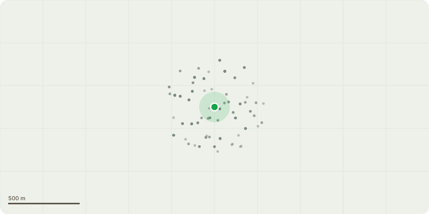
Approximate location
Proposal
Works to tree protected by a TPO. The tree in this case is a European Lime (tilia x europaea). T008 - Find on sketch plan. The works we are requesting for the lime tree is for it to be removed. In the report attached the lime tree is referenced as (T008). T008 is a European lime tree in close proximity to the property, at the front if the boundary wall of 43 Langdon Park Road. This application proposes the removal of the T008 to avoid current and future structural damage to the property, drainage and boundaries. Upon a professional observation of T008, the report advised that T008's size and close proximity to the building is causing damage and will likely lead to further structural issues particularly heave due to the age of the tree. T008 is placing undue stress on the buildings structure. Neighbours have informed that the main foul waste sewerage runs directly beneath the tree and that it becomes blocked by the trees roots. Even the team carrying out the tree investigation whilst on site experienced blockages which they had to address by rodding the drains themselves. They have also reported damage to infrastructure and damage to their property. Neighbours have reported damage caused by T008 and request it also be removed.
Planning history / related applications
No related planning applications have been identified in the current public OGL dataset.
Inside plotEdge
Go beyond the public record
This page is the public OGL record. plotEdge adds the private intelligence layer for this site - open it in the app to unlock:
- Ownership & title Registered owner and title from HM Land Registry.
- Viability & build potential Site scoring and development upside.
- Constraints Flood risk, green belt, conservation areas and designations.
- Approval signal Planning risk and approval-likelihood analysis.
- Comparable applications Decisions on similar nearby sites, side by side.
- Status alerts Get notified the moment this application changes.
Source: public planning application data from Haringey, reused under the Open Government Licence v3.0. View the council source record. Council documents and drawings are not republished on plotEdge.