Haringey
Haringey/HGY/2025/3563
Highgate Spinney Crescent Road Hornsey London N8 8AR
- Reference
- Haringey/HGY/2025/3563
- Authority
- Haringey
- Address
- Highgate Spinney Crescent Road Hornsey London N8 8AR
- Postcode
- N8 8AR
- Status
- Decision Made
- Source council
- Haringey
- Council source record
- View public record
- Public data licence
- Open Government Licence v3.0
- Record updated
- 3 Aug 2026
- SEO index generated
- 4 Aug 2026
Location
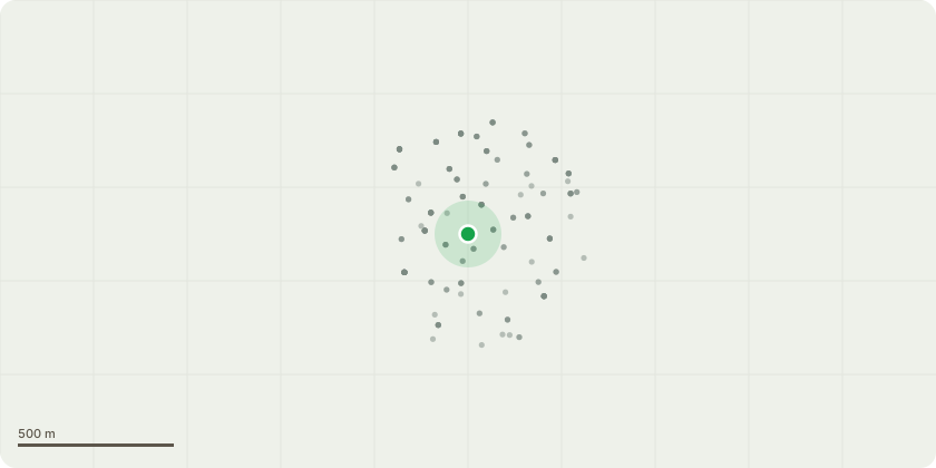
Approximate location
Proposal
Tree numbers correspond with attached report. T1) Horse Chestnut: Reduce overall crown by branch lengths up to 2 metres. T2) Horse Chestnut: Reduce overall crown by branch lengths up to 2 metres. T3) Lime: Pollard to approximately 10 metres height; tree has die-back and decay in upper crown. T4) Winter Cherry: Reduce south side of crown only by up to 2 metres to provide a more balanced form. T5) Sycamore: Reduce branches encroaching on building by up to 3 metres; crown lift to 5 metres. T6) Sycamore: Fell to ground level; close proximity to adjacent property; low amenity value. T7) Robinia: Reduce branches encroaching on building by up to 3 metres; crown lift to 5 metres. T8) Sycamore: Fell to ground level; decay throughout crown; poor vigour; surrounded by large healthier trees so minimal loss of foliage cover. T9) Common Horse Chestnut: Reduce overall crown by up to 2.5 metres back to previous, most recent reduction framework. T10) Plum: Fell to ground level; blocking light to residents windows; close proximity to building. T11) Deodar Cedar: Fell to ground level; significant die-back; low amenity value. T12) Common Lime: Reduce overall crown by up to 2.5 metres back to previous, most recent reduction framework. T13) Common Lime: Reduce overall crown by up to 2.5 metres back to previous, most recent reduction framework. T14) Liquidamber: Reduce overall crown by up to 2 metres.
Planning history / related applications
No related planning applications have been identified in the current public OGL dataset.
Inside plotEdge
Go beyond the public record
This page is the public OGL record. plotEdge adds the private intelligence layer for this site - open it in the app to unlock:
- Ownership & title Registered owner and title from HM Land Registry.
- Viability & build potential Site scoring and development upside.
- Constraints Flood risk, green belt, conservation areas and designations.
- Approval signal Planning risk and approval-likelihood analysis.
- Comparable applications Decisions on similar nearby sites, side by side.
- Status alerts Get notified the moment this application changes.
Source: public planning application data from Haringey, reused under the Open Government Licence v3.0. View the council source record. Council documents and drawings are not republished on plotEdge.