Haringey
Haringey/HGY/2025/2692
Alexandra Palace Alexandra Palace Way Wood Green London N22 7AY
- Reference
- Haringey/HGY/2025/2692
- Authority
- Haringey
- Address
- Alexandra Palace Alexandra Palace Way Wood Green London N22 7AY
- Postcode
- N22 7AY
- Status
- Decision Made
- Source council
- Haringey
- Council source record
- View public record
- Public data licence
- Open Government Licence v3.0
- Record updated
- 3 Aug 2026
- SEO index generated
- 4 Aug 2026
Location
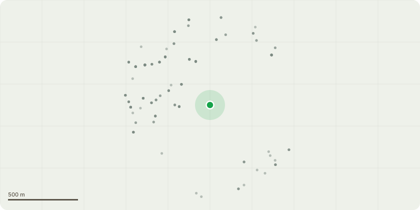
Approximate location
Proposal
Actual locations for trees can be found by selecting the hyperlink in COL AZ, on the spreadsheet provided. T030 Schmitts cherry - Fell. ///shin.songs.faced. T031 Horse chestnut - Reduce lateral limb footpath side by 15%. ///turns.nest.builds. T034 Red oak - Reduce crown 15%. ///stray.risks.divisions. T042 Sycamore '1' - Pollard at 6m. ///makes.delay.narrow. T048 Horse chestnut - General prune. ///pulled.pill.using T049 Horse chestnut '1214 5018' - General Prune. ///grain.clouds.stones T057 Downy birch - Pollard at 4m. ///camps.cloth.fees T058 Sycamore - Fell. ///miles.yarn.draw T075 Copper beech - Fell. ///narrow.liver.bonds T084 Oak - Reduce 5 v branches approx 200mm dia to clear shed. ///duck.hears.kings T094 Horse chestnut - Reduce crown by 30%. ///reveal.note.dishes T095 Horse chestnut - Remove deadwood & reduce crown 20%. ///donor.votes.below T096 Horse chestnut - Pollard at 8m. ///stop.care.flips T098 Sycamore - Fell. ///owner.term.faster T101 Ash - Reduce shed limb by 50%. ///ropes.rams.trace T102 Ash - Pollard at 6m. ///tricks.hungry.slap T109 Grey poplar - Fell. ///gums.trendy.kinks T110 Ash - Pollard at 8m. Dead. ///again.vase.large T111 Elm - Pollard at 8m. Dead. ///punch.added.pest T123 Ash - Pollard at 7m. Previously topped at 6m. ///jacket.stars.hears T124 Lombardy poplar - Pollard at 8m. ///took.fees.sentences T134 Ash - Pollard at 10m. ///ramp.exist.tiny
Planning history / related applications
No related planning applications have been identified in the current public OGL dataset.
Inside plotEdge
Go beyond the public record
This page is the public OGL record. plotEdge adds the private intelligence layer for this site - open it in the app to unlock:
- Ownership & title Registered owner and title from HM Land Registry.
- Viability & build potential Site scoring and development upside.
- Constraints Flood risk, green belt, conservation areas and designations.
- Approval signal Planning risk and approval-likelihood analysis.
- Comparable applications Decisions on similar nearby sites, side by side.
- Status alerts Get notified the moment this application changes.
Source: public planning application data from Haringey, reused under the Open Government Licence v3.0. View the council source record. Council documents and drawings are not republished on plotEdge.