Haringey
Haringey/HGY/2025/2630
10 Talbot Road Tottenham London N15 4DH
- Reference
- Haringey/HGY/2025/2630
- Authority
- Haringey
- Address
- 10 Talbot Road Tottenham London N15 4DH
- Postcode
- N15 4DH
- Status
- Decision Made
- Source council
- Haringey
- Council source record
- View public record
- Public data licence
- Open Government Licence v3.0
- Record updated
- 3 Aug 2026
- SEO index generated
- 4 Aug 2026
Location
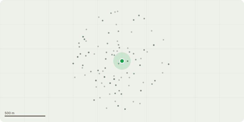
Approximate location
Proposal
Five Day Notice - T1 Robinia tree in the front garden of 10 Talbot Road N15, protected by a TPO - fell. The attached report outlines the reasons for the removal. The tree has advanced decay in the trunk with a large decay fruiting fungi bracket present which has compromised the structural integrity of the tree. This is a serious structural defect. Perenniporia fraxinea can cause the wood to shear at the roots and butt. Making the affected area(s) structurally unsound with the potential to fail without notice. There is no treatment, or ways to prevent the acceleration of the decay. The fungal fruiting bodies usually only appear after the trunk or branch are substantially decayed. Ornamental trees do not respond well to decay and once colonised, their stability can weaken rapidly.
Planning history / related applications
No related planning applications have been identified in the current public OGL dataset.
Inside plotEdge
Go beyond the public record
This page is the public OGL record. plotEdge adds the private intelligence layer for this site - open it in the app to unlock:
- Ownership & title Registered owner and title from HM Land Registry.
- Viability & build potential Site scoring and development upside.
- Constraints Flood risk, green belt, conservation areas and designations.
- Approval signal Planning risk and approval-likelihood analysis.
- Comparable applications Decisions on similar nearby sites, side by side.
- Status alerts Get notified the moment this application changes.
Source: public planning application data from Haringey, reused under the Open Government Licence v3.0. View the council source record. Council documents and drawings are not republished on plotEdge.