Haringey
Haringey/HGY/2025/2391
22 Highgate Close Hornsey London N6 4SD
- Reference
- Haringey/HGY/2025/2391
- Authority
- Haringey
- Address
- 22 Highgate Close Hornsey London N6 4SD
- Postcode
- N6 4SD
- Status
- Decision Made
- Source council
- Haringey
- Council source record
- View public record
- Public data licence
- Open Government Licence v3.0
- Record updated
- 3 Aug 2026
- SEO index generated
- 4 Aug 2026
Location
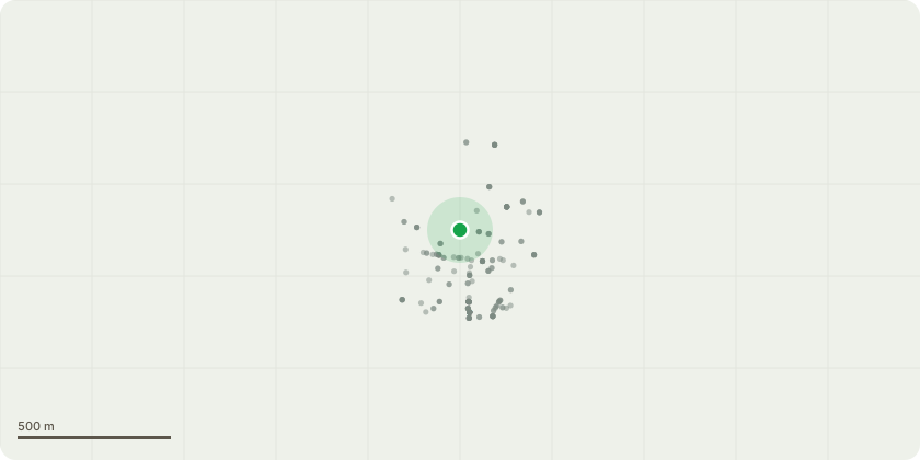
Approximate location
Proposal
Five Day Notice to remove a Beech tree at 22 Highgate Close, London N6 4SD. This tree has a very sparse crown and leaves have recently started declining and browning. In the last month the tree has sprouted large masses of giant polypores around the root plate. There are also hollow areas around the base of the tree when testing with a sounding mallet. Due to the size and location of the tree, near to the houses, the presence of white rot in the root plate poses a significant risk to the trees stability and safety and is only something that will get progressively worse. See photos attached. Please advise whether we should be heavily reducing the tree or removing the tree. I am conscious a Beech of this size and maturity is not going to take particularly well to pollarding as it will not heal well and with it already being under significant stress I feel the chance of it regenerating is very low, but would appreciate your perspective once you see it.
Planning history / related applications
No related planning applications have been identified in the current public OGL dataset.
Inside plotEdge
Go beyond the public record
This page is the public OGL record. plotEdge adds the private intelligence layer for this site - open it in the app to unlock:
- Ownership & title Registered owner and title from HM Land Registry.
- Viability & build potential Site scoring and development upside.
- Constraints Flood risk, green belt, conservation areas and designations.
- Approval signal Planning risk and approval-likelihood analysis.
- Comparable applications Decisions on similar nearby sites, side by side.
- Status alerts Get notified the moment this application changes.
Source: public planning application data from Haringey, reused under the Open Government Licence v3.0. View the council source record. Council documents and drawings are not republished on plotEdge.