Haringey
Haringey/HGY/2025/2183
70 Fortis Green Hornsey London N2 9EP
- Reference
- Haringey/HGY/2025/2183
- Authority
- Haringey
- Address
- 70 Fortis Green Hornsey London N2 9EP
- Postcode
- N2 9EP
- Status
- Decision Made
- Source council
- Haringey
- Council source record
- View public record
- Public data licence
- Open Government Licence v3.0
- Record updated
- 3 Aug 2026
- SEO index generated
- 4 Aug 2026
Location
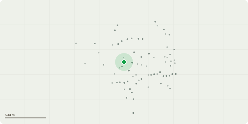
Approximate location
Proposal
X2 Sycamore (G1): Fell. The sycamores are showing some early signs of deterioration. The one on the left hand side of the photo below has bark flaking around the base revealing some necrotic cambium. This could be because the ground level has changed over time. There is also very likely ground compaction from nursery children playing underneath every day. I think the owner of the nursery wants to mitigate any future issues now given the frequent use of the playground. In terms of screening, there is a large cypress on the other side of the fence that will provide cover in their absence. Ash (T1): Re-pollard. Adjacent to the sycamores and has been pollarded several times, so it would just be repeat pruning Oak (T2): Prune southern through to western lateral aspect of crown by 2-3m
Planning history / related applications
No related planning applications have been identified in the current public OGL dataset.
Inside plotEdge
Go beyond the public record
This page is the public OGL record. plotEdge adds the private intelligence layer for this site - open it in the app to unlock:
- Ownership & title Registered owner and title from HM Land Registry.
- Viability & build potential Site scoring and development upside.
- Constraints Flood risk, green belt, conservation areas and designations.
- Approval signal Planning risk and approval-likelihood analysis.
- Comparable applications Decisions on similar nearby sites, side by side.
- Status alerts Get notified the moment this application changes.
Source: public planning application data from Haringey, reused under the Open Government Licence v3.0. View the council source record. Council documents and drawings are not republished on plotEdge.