Haringey
Haringey/HGY/2025/2158
Cordell House Newton Road Tottenham London N15 4PR
- Reference
- Haringey/HGY/2025/2158
- Authority
- Haringey
- Address
- Cordell House Newton Road Tottenham London N15 4PR
- Postcode
- N15 4PR
- Status
- Decision Made
- Source council
- Haringey
- Council source record
- View public record
- Public data licence
- Open Government Licence v3.0
- Record updated
- 3 Aug 2026
- SEO index generated
- 4 Aug 2026
Location
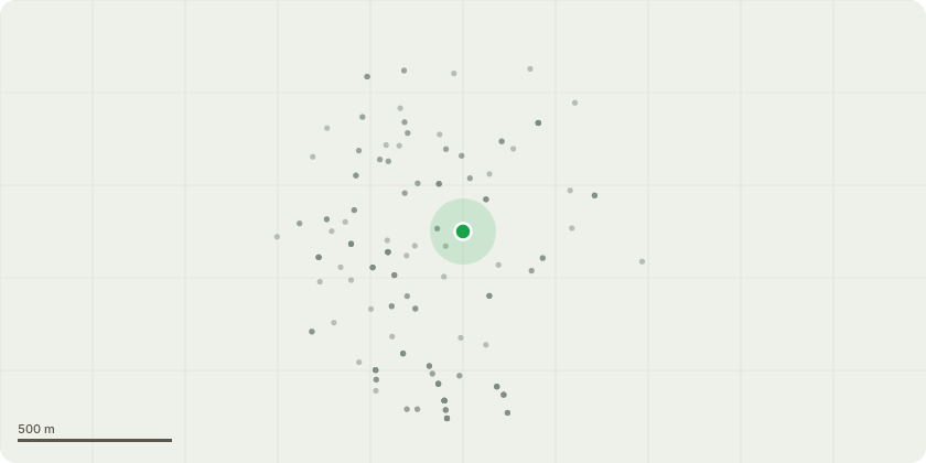
Approximate location
Proposal
Formal notification in writing of 28 days notice in advance, in accordance with Regulation 5 of the Electronic Communications Code (Conditions and Restrictions) Regulations 2003 (as amended). Description of Development: The proposal consists of the installation of 6 no. VodafoneThree antennas on new wall-mounted poles and plinths, along with 4 no. ERS units, 1 no. 300ø VodafoneThree transmission dish, 2 no. GPS nodes, and associated ancillary equipment including feeder cables, cable trays, and radio cabinets. All new equipment will be installed on a non-penetrative steel grillage located above the plantroom level. No existing antennas are being removed as part of this proposal. The rooftop design ensures minimal visual impact and retains all development within the established rooftop telecommunications zone.
Planning history / related applications
No related planning applications have been identified in the current public OGL dataset.
Inside plotEdge
Go beyond the public record
This page is the public OGL record. plotEdge adds the private intelligence layer for this site - open it in the app to unlock:
- Ownership & title Registered owner and title from HM Land Registry.
- Viability & build potential Site scoring and development upside.
- Constraints Flood risk, green belt, conservation areas and designations.
- Approval signal Planning risk and approval-likelihood analysis.
- Comparable applications Decisions on similar nearby sites, side by side.
- Status alerts Get notified the moment this application changes.
Source: public planning application data from Haringey, reused under the Open Government Licence v3.0. View the council source record. Council documents and drawings are not republished on plotEdge.