Haringey
Haringey/HGY/2025/1823
45 Clifton Road Hornsey London N8 8JA
- Reference
- Haringey/HGY/2025/1823
- Authority
- Haringey
- Address
- 45 Clifton Road Hornsey London N8 8JA
- Postcode
- N8 8JA
- Status
- Decision Made
- Source council
- Haringey
- Council source record
- View public record
- Public data licence
- Open Government Licence v3.0
- Record updated
- 3 Aug 2026
- SEO index generated
- 4 Aug 2026
Location
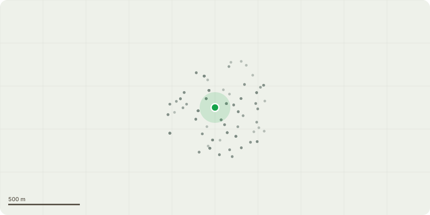
Approximate location
Proposal
We’ve recently acquired the garden adjacent to our house at 45 Clifton, that formerly belonged to 11 Wolseley. The owners at 11 Wolseley had commissioned a full tree assessment as they planned to remove all the trees and build a home (permission was granted ref: HGY/2023/0724). In honesty it’s unclear to me if we need to re obtain permission to remove the trees given it’s already granted as part of the planning consent and looking at the assessment provided as part of the planning application (attached here) trees 4, 5 and 7 have already been removed by the previous owner. That said, as we will not be building the home outlined in the planning consent I wanted to re-verify. The boundary between our plots now sits along where the now removed T7 is on the sketch map included in the Arb Assessment, with T8-10 in the garden of 11 Wolseley. We would like confirmation that we are ok to remove Ts 1, 6 and the leylandii hedge marked as G1 so as to make a usable garden space; currently the garden is very overgrown and the G1 hedge sits along the boundary with our house and blocks where we would ultimately seek to connect the two plots. As mentioned above, permission was granted already under planning and as you can see in the report all the trees are category C or under. Most have deteriorated significantly since the survey was undertaken and several (mostly the leylandii) now appear to be dead/dying.
Planning history / related applications
No related planning applications have been identified in the current public OGL dataset.
Inside plotEdge
Go beyond the public record
This page is the public OGL record. plotEdge adds the private intelligence layer for this site - open it in the app to unlock:
- Ownership & title Registered owner and title from HM Land Registry.
- Viability & build potential Site scoring and development upside.
- Constraints Flood risk, green belt, conservation areas and designations.
- Approval signal Planning risk and approval-likelihood analysis.
- Comparable applications Decisions on similar nearby sites, side by side.
- Status alerts Get notified the moment this application changes.
Source: public planning application data from Haringey, reused under the Open Government Licence v3.0. View the council source record. Council documents and drawings are not republished on plotEdge.