Haringey
Haringey/HGY/2025/1519
Flat A 28 Quernmore Road Hornsey London N4 4QX
- Reference
- Haringey/HGY/2025/1519
- Authority
- Haringey
- Address
- Flat A 28 Quernmore Road Hornsey London N4 4QX
- Postcode
- N4 4QX
- Status
- Decision Made
- Source council
- Haringey
- Council source record
- View public record
- Public data licence
- Open Government Licence v3.0
- Record updated
- 3 Aug 2026
- SEO index generated
- 4 Aug 2026
Location
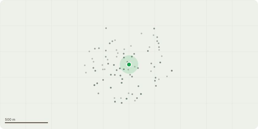
Approximate location
Proposal
Elderberry tree (T1) – Fell because the tree is encroaching and growing through the canopy of the silver birch tree located on neighbouring property. Removing it will improve conditions for neighbouring silver birch tree. New Zealand cabbage tree (T2) - Fell because the small tree is not non-native to the area and has low amenity value. Its removal will improve the long-term appearance of the garden and be more consistent with the area's flora and landscape. Japanese flowering cherry tree (T3) - Fell because the trunk is rotting, poorly formed and leaning with a sparse canopy. This small tree has low amenity value. Its removal will improve the long-term management of the garden and landscape.
Planning history / related applications
No related planning applications have been identified in the current public OGL dataset.
Inside plotEdge
Go beyond the public record
This page is the public OGL record. plotEdge adds the private intelligence layer for this site - open it in the app to unlock:
- Ownership & title Registered owner and title from HM Land Registry.
- Viability & build potential Site scoring and development upside.
- Constraints Flood risk, green belt, conservation areas and designations.
- Approval signal Planning risk and approval-likelihood analysis.
- Comparable applications Decisions on similar nearby sites, side by side.
- Status alerts Get notified the moment this application changes.
Source: public planning application data from Haringey, reused under the Open Government Licence v3.0. View the council source record. Council documents and drawings are not republished on plotEdge.