Haringey
Haringey/HGY/2025/0230
8 Parklands Cholmeley Park Hornsey London N6 5FE
- Reference
- Haringey/HGY/2025/0230
- Authority
- Haringey
- Address
- 8 Parklands Cholmeley Park Hornsey London N6 5FE
- Postcode
- N6 5FE
- Status
- Decision Made
- Source council
- Haringey
- Council source record
- View public record
- Public data licence
- Open Government Licence v3.0
- Record updated
- 3 Aug 2026
- SEO index generated
- 4 Aug 2026
Location
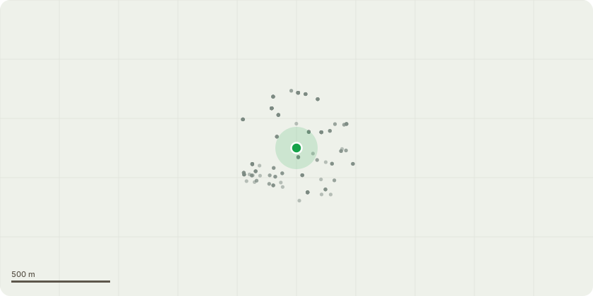
Approximate location
Proposal
T1: Sycamore - Remove Ivy from trunk and crown. Crown thin by 20%. Maintenance works in line with good arboricultural practice T3: False Acacia - Crown reduce height by 4.0 meters. Remove dead wood. Works are to reduce the tree in line wit T2 so that it isn't exposed to wind element T6: Sycamore - Tree was historically felled, regrowth has now formed multiple stems. Reduce all stems back to stump height (reduce by approx. 6m to stump height of 0.3m). Maintenance works in line with good arboricultural practice T7: Ash - Clad in dead Ivy, poor form and hazardous to neighbouring property. Cut entire tree to ground level. This tree has the potential to fail. Ash smothered in dead ivy; weight of ivy (when alive) has made the tree to grow like a boomerang. This tree is deemed as hazard and an eyesore to the surrounding area and should be removed T8: Sycamore trunk - Reduce entire stem down to 1.8m from ground level. This is a 6m high trunk that wasn't previously removed from previous works. Historically reduce down to a 5.0m trunk, clients require it to be lower as they can not maintain the new shoots (Please note that the works to T2: Large London Plane will be considered separately under application reference HGY/2025/0228, as this tree is protected by a TPO)
Planning history / related applications
No related planning applications have been identified in the current public OGL dataset.
Inside plotEdge
Go beyond the public record
This page is the public OGL record. plotEdge adds the private intelligence layer for this site - open it in the app to unlock:
- Ownership & title Registered owner and title from HM Land Registry.
- Viability & build potential Site scoring and development upside.
- Constraints Flood risk, green belt, conservation areas and designations.
- Approval signal Planning risk and approval-likelihood analysis.
- Comparable applications Decisions on similar nearby sites, side by side.
- Status alerts Get notified the moment this application changes.
Source: public planning application data from Haringey, reused under the Open Government Licence v3.0. View the council source record. Council documents and drawings are not republished on plotEdge.