Haringey
Haringey/HGY/2024/3100
28 The Avenue Hornsey London N10 2QL
- Reference
- Haringey/HGY/2024/3100
- Authority
- Haringey
- Address
- 28 The Avenue Hornsey London N10 2QL
- Postcode
- N10 2QL
- Status
- Decision Made
- Source council
- Haringey
- Council source record
- View public record
- Public data licence
- Open Government Licence v3.0
- Record updated
- 3 Aug 2026
- SEO index generated
- 4 Aug 2026
Location
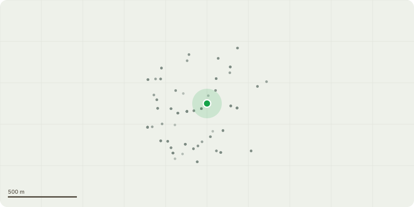
Approximate location
Proposal
I wish to remove the three Sycamore (Acer Pseudoplantanus) trees in the left border of our garden (dark circles in the sketch marked as 1, 2 and 3). 1 and 3 are 9m tall while 2 has been topped to around 7m. Tree 1 is in breach of buildings insurance, and also very close to my foundations and no. 30s which we are both concerned about. Tree 2 and 3 are very close together (20cm between them) and around 70cm from a cherry tree (Prunus x Yeodonsis). They are overwhelming the garden and the cherry tree and we would like to give the cherry tree a chance to grow properly as half the branches growth is stunted due to the close proximity to trees 2 and 3. I don't propose growing any other trees as we have the cherry tree and 4 large leylandi trees at the end of the garden (marked).
Planning history / related applications
No related planning applications have been identified in the current public OGL dataset.
Inside plotEdge
Go beyond the public record
This page is the public OGL record. plotEdge adds the private intelligence layer for this site - open it in the app to unlock:
- Ownership & title Registered owner and title from HM Land Registry.
- Viability & build potential Site scoring and development upside.
- Constraints Flood risk, green belt, conservation areas and designations.
- Approval signal Planning risk and approval-likelihood analysis.
- Comparable applications Decisions on similar nearby sites, side by side.
- Status alerts Get notified the moment this application changes.
Source: public planning application data from Haringey, reused under the Open Government Licence v3.0. View the council source record. Council documents and drawings are not republished on plotEdge.