Haringey
Haringey/HGY/2024/2490
99 Bishopsgate London EC2M 3XD
- Reference
- Haringey/HGY/2024/2490
- Authority
- Haringey
- Address
- 99 Bishopsgate London EC2M 3XD
- Postcode
- EC2M 3XD
- Status
- Decision Made
- Source council
- Haringey
- Council source record
- View public record
- Public data licence
- Open Government Licence v3.0
- Record updated
- 3 Aug 2026
- SEO index generated
- 4 Aug 2026
Location
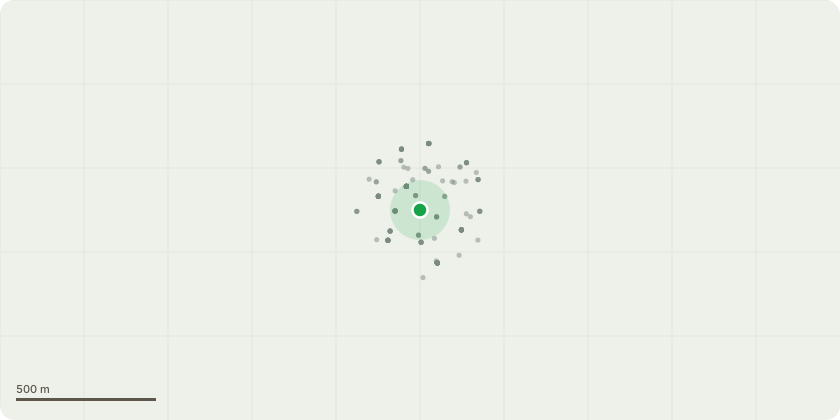
Approximate location
Proposal
Partial demolition of the existing building, retention and partial extension of existing basement and the construction of a ground plus 53-storeys (plus plant) (253.5m AOD) building to provide commercial floorspace (Class E); with market hall space on the ground floor for the following: flexible display of goods or retail/food and beverage (Class E(a)-(b)) and/or drinking establishments (Sui Generis); erection of a multi-purpose ground plus 5-storeys (plus plant) pavilion building (52.5m AOD) for the following: exhibition and/or performance space, learning, community use, creative workspace (Class F1, Sui Generis and Class (E(g)(i)); public cycle hub satellite building (26m AOD) (Sui Generis), public realm improvement works, hard and soft landscaping, provision of basement cycle parking and means of access, highway works and other works associated with the development of the Site. This application is accompanied by an Environmental Statement which is available for inspection with the planning application. Electronic copies of the ES can also be issued by Trium Environmental Consulting LLP; for further details please contact or Tel: +44 (0) 203 887 7118. 24/00836/FULEIA (99 Bishopsgate London EC2M 3XD) is being presented to the Planning Application Sub-Committee on 31 January 2025. (Observations to City Of London - their planning reference 24/00836/FULEIA)
Planning history / related applications
No related planning applications have been identified in the current public OGL dataset.
Inside plotEdge
Go beyond the public record
This page is the public OGL record. plotEdge adds the private intelligence layer for this site - open it in the app to unlock:
- Ownership & title Registered owner and title from HM Land Registry.
- Viability & build potential Site scoring and development upside.
- Constraints Flood risk, green belt, conservation areas and designations.
- Approval signal Planning risk and approval-likelihood analysis.
- Comparable applications Decisions on similar nearby sites, side by side.
- Status alerts Get notified the moment this application changes.
Source: public planning application data from Haringey, reused under the Open Government Licence v3.0. View the council source record. Council documents and drawings are not republished on plotEdge.