Guildford
Guildford/25/P/00956
Land bounded by the Friary Centre Bus Station, North Street, Leapale Road, Guildford, GU1
- Reference
- Guildford/25/P/00956
- Authority
- Guildford
- Address
- Land bounded by the Friary Centre Bus Station, North Street, Leapale Road, Guildford, GU1
- Status
- Decided
- Decision
- Approve
- Received
- 27 Jun 2025
- Validated
- 11 Jul 2025
- Started
- 11 Jul 2025
- Decided
- 13 Mar 2026
- Source council
- Guildford
- Council source record
- View public record
- Public data licence
- Open Government Licence v3.0
- Record updated
- 6 Aug 2026
- SEO index generated
- 7 Aug 2026
Location
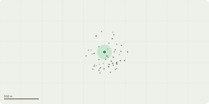
Approximate location
Proposal
Application under Section 73 of the Town and Country Planning Act 1990 to vary Condition 2 (approved drawings) of planning permission 24/P/00701 for a mixed use redevelopment on a site bounded by North Street, Leapale Road and including Commercial Road and part of Woodbridge Road, Guildford comprising: Demolition of existing buildings; A new bus interchange with new access junction arrangement, new canopy, waiting facilities, a hard and soft landscaped pedestrian public area and hardstanding; Erection of buildings ranging up to 12 storeys comprising the following uses: residential dwellings with associated car parking, hard and soft landscaped communal areas, ancillary cycle storage, residents gym, concierge and management office (Use Class C3); flexible non-residential floor space (Class E) together with; Hard and soft landscaped areas to form pedestrianised streets and public spaces; Associated vehicular access, servicing arrangements, plant, highway works (including alterations to North Street, Leapale Road and Commercial Road; and junctions at Leapale Road / North Street; Leapale Road / Commercial Road / Woodbridge Rd) and associated infrastructure; The stopping up of adopted highway (including Commercial Road and Woodbridge Road); Alterations to a Listed Building (17 North Street) including the exposure to part of the flank elevation and party wall works. The amendments include the following main changes: - additional evacuation lift added to second stair cores of Blocks B2, C, D2, D3, D4 and E increased stair rises; floor to floor height revisions, with one additional storey added on Block E and reduced heights to Blocks B1, B2 and C; change to the footprint of Block E; revisions to floorplans and elevations; alterations to non-residential floor space and increase in the number of residential units.
Key dates
- Received 27 Jun 2025
- Validated 11 Jul 2025
- Started 11 Jul 2025
- Decided 13 Mar 2026
Planning history / related applications
No related planning applications have been identified in the current public OGL dataset.
Inside plotEdge
Go beyond the public record
This page is the public OGL record. plotEdge adds the private intelligence layer for this site - open it in the app to unlock:
- Ownership & title Registered owner and title from HM Land Registry.
- Viability & build potential Site scoring and development upside.
- Constraints Flood risk, green belt, conservation areas and designations.
- Approval signal Planning risk and approval-likelihood analysis.
- Comparable applications Decisions on similar nearby sites, side by side.
- Status alerts Get notified the moment this application changes.
Source: public planning application data from Guildford, reused under the Open Government Licence v3.0. View the council source record. Council documents and drawings are not republished on plotEdge.