Greenwich
Greenwich/25/3312/MA
Kidbrooke Village Masterplan, London SE3
- Reference
- Greenwich/25/3312/MA
- Authority
- Greenwich
- Application type
- MA
- Address
- Kidbrooke Village Masterplan, London SE3
- Status
- Awaiting decision
- Received
- 4 Nov 2025
- Started
- 4 Nov 2025
- Source council
- Greenwich
- Council source record
- View public record
- Public data licence
- Open Government Licence v3.0
- Record updated
- 6 Aug 2026
- SEO index generated
- 7 Aug 2026
Location
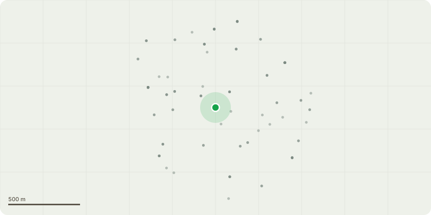
Approximate location
Proposal
An application submitted under section 73 of the town & Country Planning Act 1990 for a material amendment to Planning Permission 08/2782/O dated 24th June 2009 (as amended by application 17/2242/NM) 'A mixed use development comprising 4,000 residential units, including 27,261 sqm of extra care accommodation to provide 303 flats (Class C3) and 29,498 sqm of non-residential uses comprising 4,855 sqm retail & leisure (incorporating up to 3,I00 sqm retails Class AI - A5 and up to 2,782 sqm leisure Class 02), 5,450 sqm office (Class BI), 4,884 sqm community (Class DI), 5,911 sqm hotel (Class C I) 2,785 sqm supermarket (Class AI), 3,205 GP Surgery (Class DI) and 2,408 sqm replacement primary school (Class DI) including access, car parking and open space' to allow for: The variation of the wording of Condition 55, to capture the following changes: The omission of the Multi Use Games Area from Phase 1 of the Kidbrooke Village development.
Key dates
- Received 4 Nov 2025
- Started 4 Nov 2025
Planning history / related applications
No related planning applications have been identified in the current public OGL dataset.
Inside plotEdge
Go beyond the public record
This page is the public OGL record. plotEdge adds the private intelligence layer for this site - open it in the app to unlock:
- Ownership & title Registered owner and title from HM Land Registry.
- Viability & build potential Site scoring and development upside.
- Constraints Flood risk, green belt, conservation areas and designations.
- Approval signal Planning risk and approval-likelihood analysis.
- Comparable applications Decisions on similar nearby sites, side by side.
- Status alerts Get notified the moment this application changes.
Source: public planning application data from Greenwich, reused under the Open Government Licence v3.0. View the council source record. Council documents and drawings are not republished on plotEdge.