Greenwich
Greenwich/25/0856/MA
Phase 3 and 4 Woolwich Central, Land at Love Lane, Grand Depot Road, John Wilson Street, Thomas Street and Woolwich New Road, Woolwich, SE18 6SJ
- Reference
- Greenwich/25/0856/MA
- Authority
- Greenwich
- Application type
- MA
- Address
- Phase 3 and 4 Woolwich Central, Land at Love Lane, Grand Depot Road, John Wilson Street, Thomas Street and Woolwich New Road, Woolwich, SE18 6SJ
- Postcode
- SE18 6SJ
- Status
- Decided
- Decision
- Approve
- Received
- 17 Mar 2025
- Started
- 8 Apr 2025
- Decided
- 26 Feb 2026
- Source council
- Greenwich
- Council source record
- View public record
- Public data licence
- Open Government Licence v3.0
- Record updated
- 11 Aug 2026
- SEO index generated
- 12 Aug 2026
Location
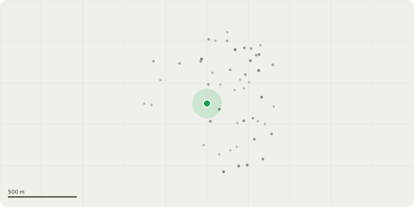
Approximate location
Proposal
An application submitted under Section 73 of the Town & Country Planning Act 1990 in connection with the planning permission dated 04/03/2025 (Reference: 24/2023/MA) for "The construction of a mixed-use development (within two phases, known as Phase 3 and 4) comprising residential dwellings (Use Class C3), flexible commercial and business service uses (Use Class E), and community uses (Use Class F2), improvements to public realm with hard and soft landscaping (including new pedestrian link), highways works, car parking at Lower Ground Floor of Phase 4, cycle parking, refuse and recycling storage, plant, external amenity space, playspace and alterations to the roof of existing loading bay to provide amenity space for residents. Phase 3 will include the removal of temporary landscaping'. This amendment proposes a modification to Conditions 1, 2, 3, 4, 25, 29, 32, 33, 35, 43, 56, 65, 66, 70 and 77 to increase building height of Blocks A, B and C, redesign of stair/lift core and service areas, relocated cycle storage, reconfiguration of refuse storage area, fenestration adjustments, commercial unit size reductions, apartment size/occupancy amendments and landscape updates.
Key dates
- Received 17 Mar 2025
- Started 8 Apr 2025
- Decided 26 Feb 2026
Planning history / related applications
No related planning applications have been identified in the current public OGL dataset.
Inside plotEdge
Go beyond the public record
This page is the public OGL record. plotEdge adds the private intelligence layer for this site - open it in the app to unlock:
- Ownership & title Registered owner and title from HM Land Registry.
- Viability & build potential Site scoring and development upside.
- Constraints Flood risk, green belt, conservation areas and designations.
- Approval signal Planning risk and approval-likelihood analysis.
- Comparable applications Decisions on similar nearby sites, side by side.
- Status alerts Get notified the moment this application changes.
Source: public planning application data from Greenwich, reused under the Open Government Licence v3.0. View the council source record. Council documents and drawings are not republished on plotEdge.