Greenwich
Greenwich/24/2261/K
Barking Riverside Area Renwick Road, Barking, Barking And Dagenham
- Reference
- Greenwich/24/2261/K
- Authority
- Greenwich
- Application type
- K
- Address
- Barking Riverside Area Renwick Road, Barking, Barking And Dagenham
- Status
- Decided
- Decision
- Raise No Objection
- Received
- 21 Aug 2024
- Started
- 21 Aug 2024
- Decided
- 10 Oct 2024
- Source council
- Greenwich
- Council source record
- View public record
- Public data licence
- Open Government Licence v3.0
- Record updated
- 6 Aug 2026
- SEO index generated
- 7 Aug 2026
Location
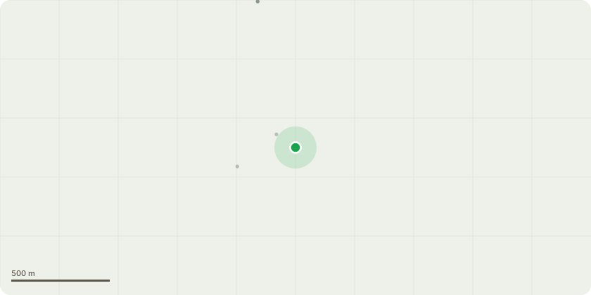
Approximate location
Proposal
Mixed use development for residential dwellings (Class C3), hotel, communal care home, care facilities for the young, old and/or infirm and other residential institutions (Class C); student accommodation, large scale purpose built shared living and built floorspace for retail uses, business premises, research and development, primary health care facilities, indoor sport, creche and pre-school facilities (Class E); community, learning and social facilities (for uses such as libraries, education and training facilities, places of worship and assembly, sport and leisure development)(Class F); Sui Generis uses (including public houses, wine bars or drinking establishments, drinking establishments with expanded food provision and hot food takeaways); up to 2 primary schools; remediation, ground raising and engineering works; strategic landscape and works to create new and improved/ retained ecological reserves, open space (including parks, play spaces, promenades and piazzas, formal and informal play space) laying out and improvement or alteration to existing service infrastructure (including foul and surface drainage infrastructure and water and waste collection infrastructure); new and altered vehicular and pedestrian/cycle access and routes; diversion of Footpath no. 47; works to the existing river wall, bund and flood defences, alterations to existing T jetty and coal wharf; and ancillary engineering, infrastructure, utility and services. For consultation purposes (not part of the description of development)The proposals would provide up to 13,046 homes and 52,848 squared metres of non-residential floorspace in buildings ranging from 40metres to 110metres AOD (above ordnance datum). Environmental Impact Assessment (EIA) This application is EIA development and is accompanied by an Environmental Statement. The application represents 'Major' development.
Key dates
- Received 21 Aug 2024
- Started 21 Aug 2024
- Decided 10 Oct 2024
Planning history / related applications
No related planning applications have been identified in the current public OGL dataset.
Inside plotEdge
Go beyond the public record
This page is the public OGL record. plotEdge adds the private intelligence layer for this site - open it in the app to unlock:
- Ownership & title Registered owner and title from HM Land Registry.
- Viability & build potential Site scoring and development upside.
- Constraints Flood risk, green belt, conservation areas and designations.
- Approval signal Planning risk and approval-likelihood analysis.
- Comparable applications Decisions on similar nearby sites, side by side.
- Status alerts Get notified the moment this application changes.
Source: public planning application data from Greenwich, reused under the Open Government Licence v3.0. View the council source record. Council documents and drawings are not republished on plotEdge.