Great Yarmouth
Great Yarmouth/06/26/0620/O
North Quay and land off Acle New Road Great Yarmouth NR30 1JQ
- Reference
- Great Yarmouth/06/26/0620/O
- Authority
- Great Yarmouth
- Address
- North Quay and land off Acle New Road Great Yarmouth NR30 1JQ
- Postcode
- NR30 1JQ
- Status
- Undecided
- Received
- 5 Aug 2026
- Started
- 5 Aug 2026
- Source council
- Great Yarmouth
- Council source record
- View public record
- Public data licence
- Open Government Licence v3.0
- Record updated
- 19 Aug 2026
- SEO index generated
- 26 Aug 2026
Location
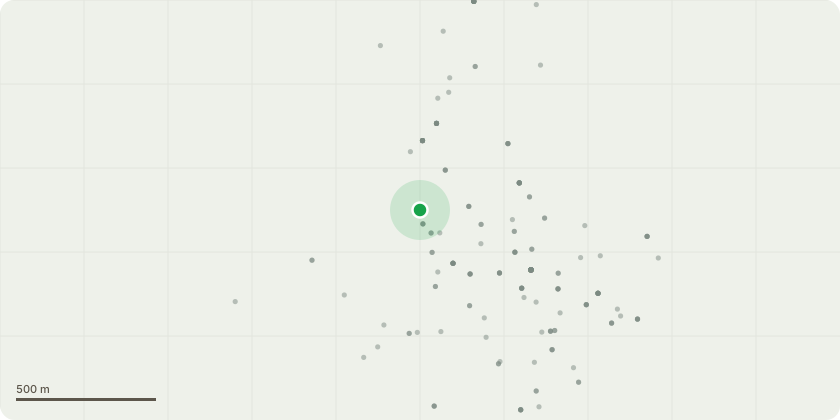
Approximate location
Proposal
Hybrid planning application for the phased mixed-use redevelopment of North Quay and land off Acle New Road comprising - Full application: the demolition of existing buildings and provision of an Outlet & Leisure Village comprising retail (Use Class E(a)), food and beverage (Use Classes E(b)/sui generis), and leisure/cinema uses (Use Class E(d)/sui generis), retail storage (Use Class B8), a service yard, management suite and associated facilities (including commerial kiosks (Class E(a)/E(b)/sui generis)); the provision of multi-storey car park and a separate electric vehicle charging hub (accessed from Acle New Road); riverside walkway and other public realm/highways works, landscaping and associated ancillary development; and the change of use of 80, 81 and 82 North Quay from residential (Use Class C3) to flexible uses within Use Classes F1, F2(b) and/or Class E. Outline application (all matters reserved): the provision of a hotel (Use Class C1) and residential development (Use Class C3).
Key dates
- Received 5 Aug 2026
- Started 5 Aug 2026
Planning history / related applications
No related planning applications have been identified in the current public OGL dataset.
Inside plotEdge
Go beyond the public record
This page is the public OGL record. plotEdge adds the private intelligence layer for this site - open it in the app to unlock:
- Ownership & title Registered owner and title from HM Land Registry.
- Viability & build potential Site scoring and development upside.
- Constraints Flood risk, green belt, conservation areas and designations.
- Approval signal Planning risk and approval-likelihood analysis.
- Comparable applications Decisions on similar nearby sites, side by side.
- Status alerts Get notified the moment this application changes.
Source: public planning application data from Great Yarmouth, reused under the Open Government Licence v3.0. View the council source record. Council documents and drawings are not republished on plotEdge.